Copyright & Fair-use Agreement
UNLV Special Collections provides copies of materials to facilitate private study, scholarship, or research. Material not in the public domain may be used according to fair use of copyrighted materials as defined by copyright law. Please cite us.
Please note that UNLV may not own the copyright to these materials and cannot provide permission to publish or distribute materials when UNLV is not the copyright holder. The user is solely responsible for determining the copyright status of materials and obtaining permission to use material from the copyright holder and for determining whether any permissions relating to any other rights are necessary for the intended use, and for obtaining all required permissions beyond that allowed by fair use.
Read more about our reproduction and use policy.
I agree.Information
Digital ID
Permalink
Details
More Info
Rights
Digital Provenance
Publisher
Transcription
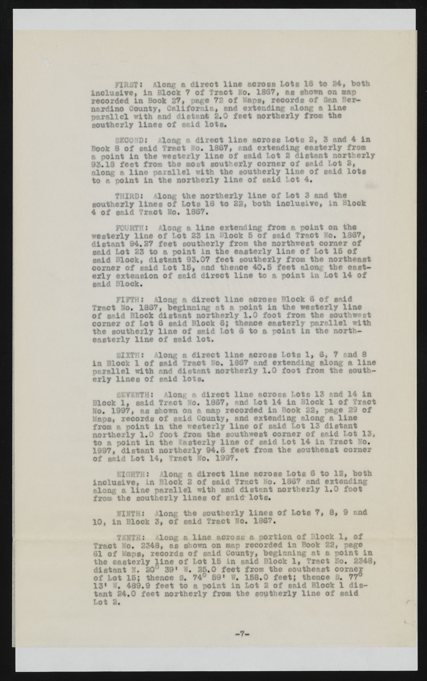
*u<r FIRST* Along a direct line across Lots 1® to 24, both Inclusive, in Block ? of Tract Ho. 1867, as shown on map recorded in Book 27, page 72 of -laps, records of Sam Bernardino County, California, and extending along a line parallel with and distant 2.0 feet northerly from the southerly lines of said lots. SECOND* Along a direct line across Lots 2, 3 and 4 in Book 8 of said Tract Ho. 1867, and extending easterly from a point in the westerly line of said Lot 2 distant northerly 93.13 feet from the most southerly comer of said Lot 2, along a line parallel with the southerly line of said lots to a point in the northerly line of said Lot 4, THIRD* along the northerly line of Lot 3 and the southerly lines of Lots 16 to 22, both inclusive, in Block 4 of said Tract Ho. 1367. FOURTH * Along a line extending from a point on the westerly line of Lot 23 in Block 5 of said Tract No. 1367, distant 94.27 feet southerly from the northwest comer of said Lot 23 to a point in the easterly line of Lot 16 of said Block, distant 93.07 feet southerly from the northeast comer of said Lot 15, and thence 40.5 feet along the easterly extension of said direct line to a point in Lot 14 of said Block. FIFTH: Along a direct line across Block 6 of said Tract Ho. 1867, beginning at a point in the westerly line of said Block distant northerly 1.0 foot from the southwest comer of Lot 6 said Block 8; thence easterly parallel with the southerly line of said Lot 6 to a point in the northeasterly line of said lot. SIXTH* Along a direct line across Lots 1, 6, 7 and 8 in Block 1 of said Tract Mo. 1867 and extending along a line parallel with and distant northerly 1.0 foot from the southerly lines of said lots. SEVENTH * Along a direct line across Lot s 13 and 14 in Block 1, said Tract Mo. 1867, and Lot 14 in Block 1 of Tract No. 1997, as shown on a map recorded in Book 23, page 29 of Maps, records of said County, and extending along a line from a point in the westerly line of said Lot 13 distant northerly 1.0 foot from the southwest corner of said Lot 13, to a point in the Easterly line o f said Lot 14 in Tract Mo. 1997, distant northerly 94.6 feet from the southeast corner of said Lot 14, Tract Ko. 1997. EIGHTH* Along a direct line across Lots 6 to 12, both inclusive, in Block 2 of said Tract Mo. 1867 and extending along a line parallel with and distant northerly 1.0 foot from the southerly lines of said lots. NINTH* Along the southerly lines of Lots 7, 8, 9 and 10, in Block 3, of said Tract No. 1867. TENTH* long & line across a portion of Block 1, of Tract No. 2348, as shown on map recorded in Book 22, page 61 of Maps, records of said County, beginning at a point in the easterly line of Lot 15 in said Block 1, Tract No. 2348, distant 1. 20° 39* 1. 25.0 feet from the southeast corner of Lot 15; thence 8, 74° 59* f. 158,0 feet; thence 8, 77° 13* W, 439.9 feet to a point in Lot i of said Block 1 distant 24,0 feet northerly from the southerly line of said Lot 2. - 7 -

