Copyright & Fair-use Agreement
UNLV Special Collections provides copies of materials to facilitate private study, scholarship, or research. Material not in the public domain may be used according to fair use of copyrighted materials as defined by copyright law. Please cite us.
Please note that UNLV may not own the copyright to these materials and cannot provide permission to publish or distribute materials when UNLV is not the copyright holder. The user is solely responsible for determining the copyright status of materials and obtaining permission to use material from the copyright holder and for determining whether any permissions relating to any other rights are necessary for the intended use, and for obtaining all required permissions beyond that allowed by fair use.
Read more about our reproduction and use policy.
I agree.Information
Digital ID
Permalink
Details
More Info
Rights
Digital Provenance
Publisher
Transcription
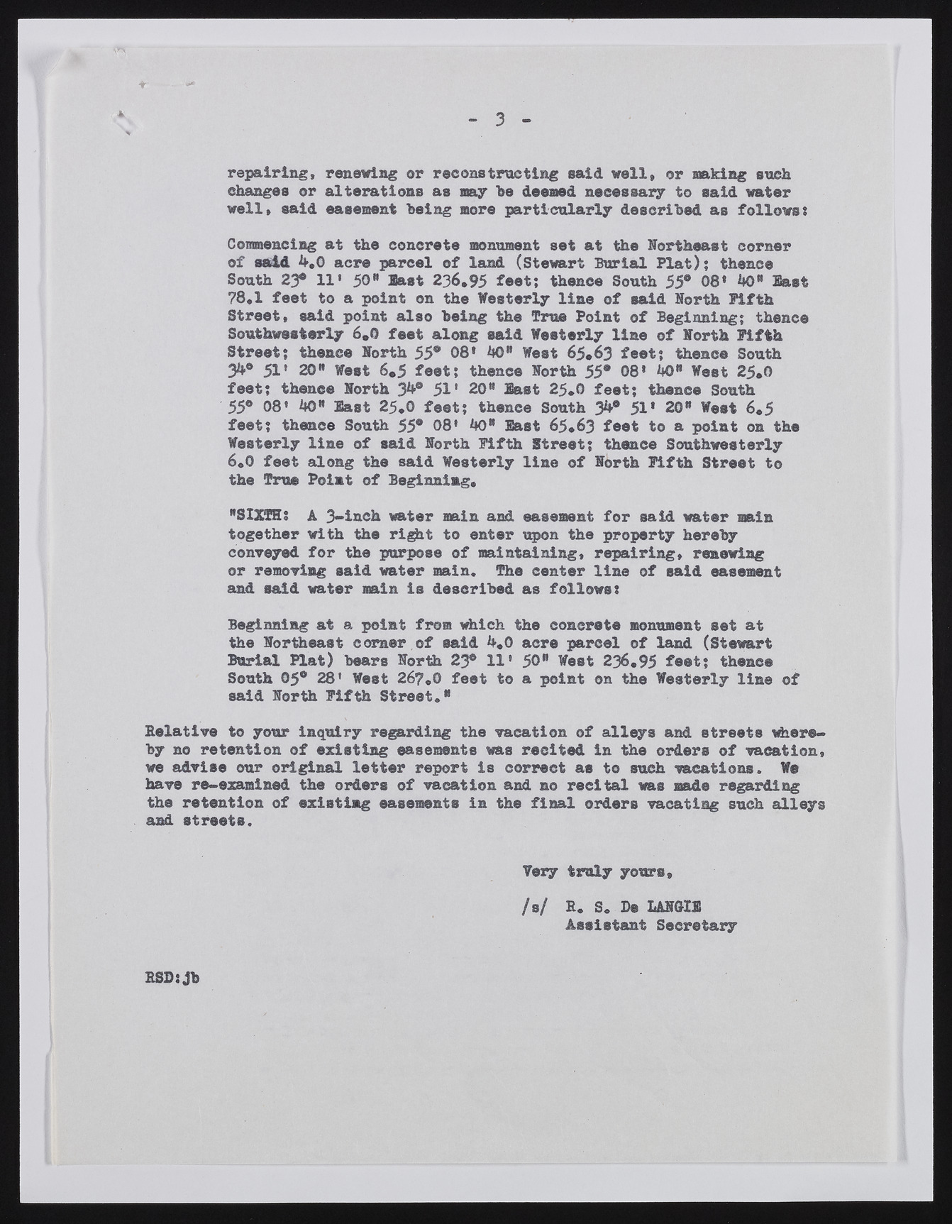
3 repairing, renewing or reconstructing said well, or making such changes or alterations as nay he deemed necessary to said water well, said easement being more particularly described as follows: Commencing at the concrete monument set at the Northeast corner of said 4.0 acre parcel of land (Stewart Serial Plat); thence South 23° 11* 50" last 236,95 feet; thence South 55° 08* 40" last 78,1 feet to a point on the Westerly line of said North Fifth Street, said point also being the True Point of Beginning; thence Southwesterly 6,0 feet along said Westerly line of North Fifth Street; thence North 55® 08’ 40" West 65*63 feet; thence South 34® 51» 20" West 6.5 feet; thence North 55® 08» 40" West 25.0 feet; thence North 34® 51' 20" East 25,0 feet; thence South 55® 08’ 40" last 25,0 feet; thence South 34® 51* 20" West 6.5 feet; thence South 55® 08* 40" last 65.63 feet to a point on the Westerly line of said North Fifth Street; thence Southwesterly 6,0 feet along the said Westerly line of North Fifth Street to the True Point of Beginning, "SIXTH: A 3-inch water main and easement for said water main together with the right to enter upon the property hereby conveyed for the purpose of maintaining, repairing, renewing or removing said water main. The center line of said easement and said water main is described as follows: Beginning at a point from which, the concrete monument set at the Northeast corner of said 4,0 acre parcel of land (Stewart Burial Plat) bears North 23® 11' 50" West 236,95 foot; thonee South 05® 28' West 267,0 feet to a point on the Westerly line of said North Fifth Street." Relative to your inquiry regarding the vacation of alleys and streets whereby no retention of existing easements was recited in the orders of vacation, we advise our original letter report is correct as to sueh vacations. We have re-examined the orders of vacation and no recital was made regarding the retention of existing easements in the final orders vacating such alleys and streets. Very truly yours, fa/ E. S. Be LANG-115 Assistant Secretary ESD:Jb

