Copyright & Fair-use Agreement
UNLV Special Collections provides copies of materials to facilitate private study, scholarship, or research. Material not in the public domain may be used according to fair use of copyrighted materials as defined by copyright law. Please cite us.
Please note that UNLV may not own the copyright to these materials and cannot provide permission to publish or distribute materials when UNLV is not the copyright holder. The user is solely responsible for determining the copyright status of materials and obtaining permission to use material from the copyright holder and for determining whether any permissions relating to any other rights are necessary for the intended use, and for obtaining all required permissions beyond that allowed by fair use.
Read more about our reproduction and use policy.
I agree.Information
Digital ID
Permalink
Details
More Info
Rights
Digital Provenance
Publisher
Transcription
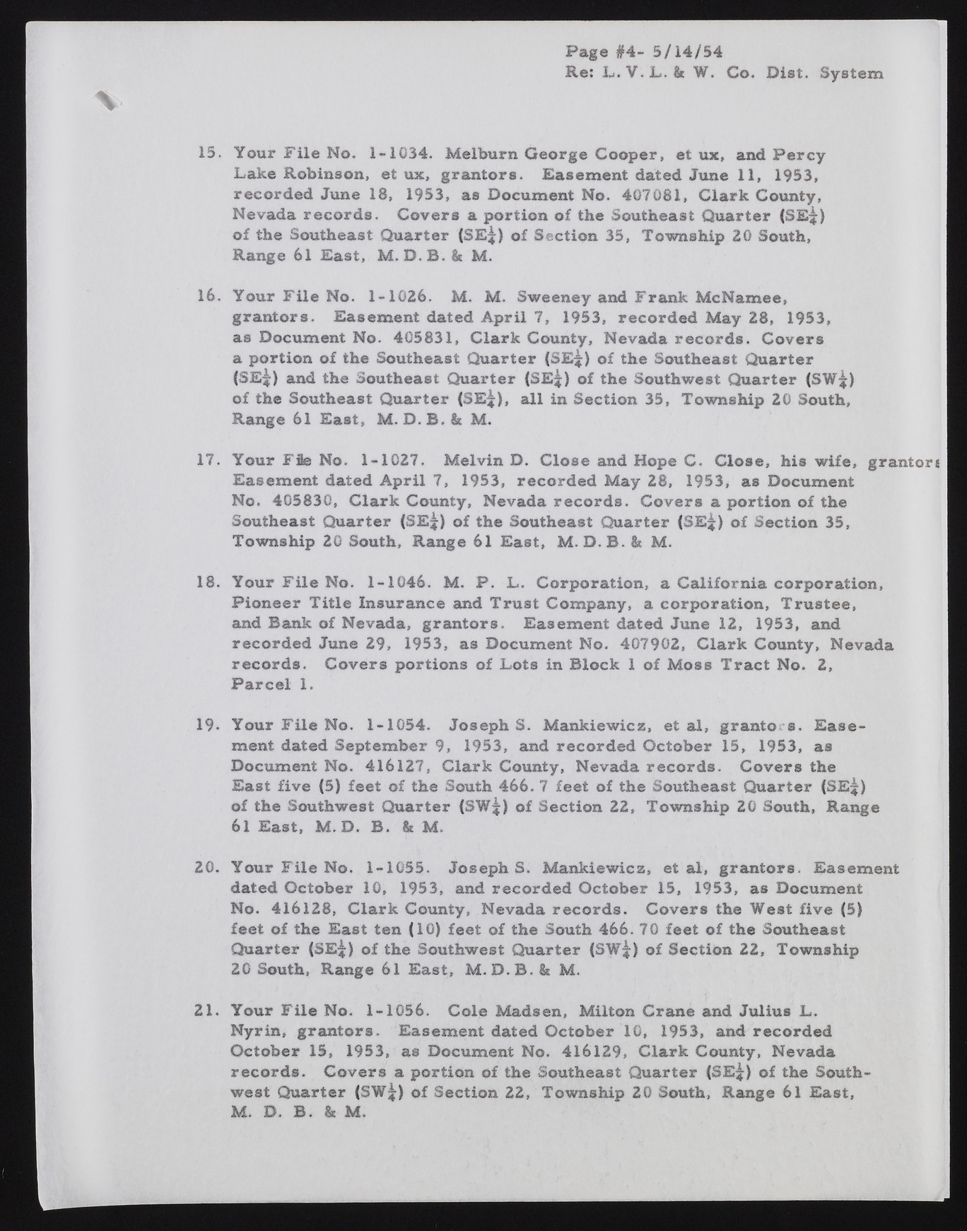
Page #4- 5/14/54 Re: L . V. L. 8t W. Co. Diet. System 15. Your File No. 1-1034. Melburn George Cooper, et ux, and Percy Lake Robinson, et ux, grantors. Easement dated June 11, 1953, recorded June 18, 1953, as Document No. 407081, Clark County, Nevada records. Covers a portion of the Southeast Quarter (SE^) of the Southeast Quarter (SE;|) of Section 35, Township 20 South, Range 61 East, M .D .B . k M. 16. Your File No. 1-1026. M. M. Sweeney and Frank McNamee, grantors. Easement dated April 7, 1953, recorded May 28, 1953, as Document No. 405831, Clark County, Nevada records. Covers a portion of the Southeast Quarter (SE^) of the Southeast Quarter |SE^) and the Southeast Quarter (SE^) of the Southwest Quarter (SW^) of the Southeast Quarter (SE^), all in Section 35, Township 20 South, Range 61 East, M. D. B. & M. 17. Your Ffie No. 1-1027. Melvin D. Close and Hope C. Close, his wife, grantor* Easement dated April 7, 1953, recorded May 28, 1953, as Document No. 405830, Clark County, Nevada records. Covers a portion of the Southeast Quarter (SE^) of the Southeast Quarter (SE^) of Section 35, Township 20 South, Range 61 East, M. D. B. & M. 18. Your File No. 1-1046. M. P. L, Corporation, a California corporation, Pioneer Title Insurance and Trust Company, a corporation, Trustee, and Bank of Nevada, grantors. Easement dated June 12, 1953, and recorded June 29, 1953, as Document No. 407902, Clark County, Nevada records. Covers portions of Lots in Block 1 of Moss Tract No. 2, Parcel 1. 19* Your File No. 1-1054. Josephs. Mankiewicz, et al, granto. s. Easement dated September 9, 1953, and recorded October 15, 1953, as Document No. 416127, Clark County, Nevada records. Covers the East five (5) feet of the South 466. 7 feet of the Southeast Quarter (SE^) of the Southwest Quarter {SW;|) of Section 22, Township 20 South, Range 61 East, M. D. B. & M. 20. Your File No. 1-1055. Josephs. Mankiewicz, et al, grantors. Easement dated October 10, 1953, and recorded October 15, 1953, as Document No. 416128, Clark County, Nevada records. Covers the West five (5) feet of the East ten (10) feet of the South 466. 70 feet of the Southeast Quarter (SE^) of the Southwest Quarter (SW^) of Section 22, Township 20 South, Range 61 East, M. D .B . & M. 21. Your File No. 1-1056. Cole Madsen, Milton Crane and Julius L. Nyrin, grantors. Easement dated October 10, 1953, and recorded October 15, 1953, as Document No. 416129, Clark County, Nevada records. Covers a portion of the Southeast Quarter (SE^) of the Southwest Quarter (SW^) of Section 22, Township 20 South, Range 61 East, M. D. B. & M.

