Copyright & Fair-use Agreement
UNLV Special Collections provides copies of materials to facilitate private study, scholarship, or research. Material not in the public domain may be used according to fair use of copyrighted materials as defined by copyright law. Please cite us.
Please note that UNLV may not own the copyright to these materials and cannot provide permission to publish or distribute materials when UNLV is not the copyright holder. The user is solely responsible for determining the copyright status of materials and obtaining permission to use material from the copyright holder and for determining whether any permissions relating to any other rights are necessary for the intended use, and for obtaining all required permissions beyond that allowed by fair use.
Read more about our reproduction and use policy.
I agree.Information
Digital ID
Permalink
Details
Member of
More Info
Rights
Digital Provenance
Publisher
Transcription
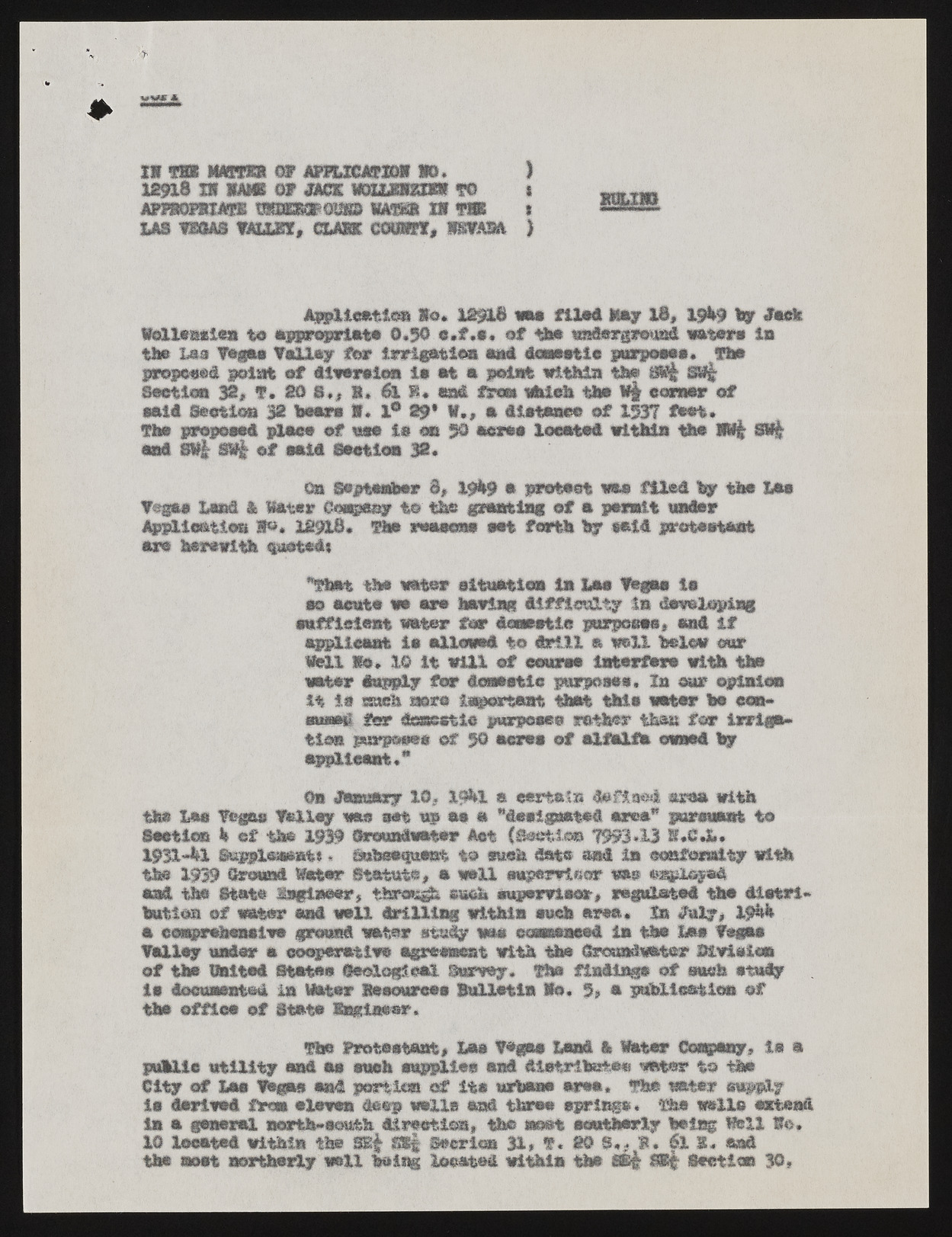
mm II T9K warn OF AFPLICATIDg 10, ) 12918 H KAMI ©f &GZ WUMUm TO l Asmsmum 'mmmmim mam m tss » las vmm must, cum comm, wsvasa ) Application So. 12918 was filed lay lb, tfl# Ily Mnk laUeaaiea to appropriate 0,50 «,f «a* of the m&mr&xw.-m& water* in the Lea Toga* Valley for irrigation end Aa—tie purpoeee. The proposed point of liititlca ie at a j^lstfe within the SSi§ m§ Section 32, f. SO 8,, 1* &.1. susS. froa which the W§ corner of said Section 32 ban I, 1° 29* V., a diatesee of 1537 feet* The proposed place of wee la on $0 acre# located within the ml m§ and SW£ S% of said Seetloa 32. On September 8, Wkf a protest was filed by the Lae Vsgae Lend & Water Company to the granting of a permit trader Appllomios S»« 12918. Warn reasons wet forth by eald grataatarat are herewith $oot*d» "That the wada* situation In Lae Vega* ie eo acute wa are hawing difficulty In davcloping sufficient ratter tmr domestic purpoeee, and If applleaat la allowed to drill a well below our Sell So. 1© It will of course Interfere with the water Supply for doaaetle purposes, In cur opinion it ie m*eh acre important that tMs water be con* ratHu> far dossetlo purposes rather then for irrigation purpooee of 5© acres of aUUh owned by applicant** On 4fesmftxy 1©? X9bl ft certain daftaed area with the Las Vegas Valley was set up as a "desiprated area* pursuant to Saotien k of the 1939 {hrauniwater Act (Section 7993.13 K.C.L. 193X~bX Suppleseent«« aubrawtuant to such data and In conformity with the 1939 ©round Wester Statute, a rail! eupsrwinor was onplayed and the State tagineer, tiaras^ such supervisor, regulated the distribution of water and wall drilling within each area. Is «htly, g$S& a comprehensive ground ratter study mm ecmseaeed la the Lee Vegas Valley under a cooperative agreement with the dmsad.water Btviaica of the Waited States {geological Survey. The findings of such study le documented in Water Jteeourcee Bulletin Ho. 5, a publication of the office of State Sagiaear. the Protectant, Lae Vegas Land & Water Company, le a public utility and aa each supplies and diatribe&eo water to the City of Lee Vegas end portion of its urbane area. The ratter »f#,f ie derived free alevea deep wells end three springe* The walla extend in a general north-south direction, the most southerly being Veil Ie. 10 located within the 3E| f*Sf Seeriea 31, T. @0 flu, 1*. 6l I, and the aost northerly well being located within the 8B§ SKf Section 30*

