Copyright & Fair-use Agreement
UNLV Special Collections provides copies of materials to facilitate private study, scholarship, or research. Material not in the public domain may be used according to fair use of copyrighted materials as defined by copyright law. Please cite us.
Please note that UNLV may not own the copyright to these materials and cannot provide permission to publish or distribute materials when UNLV is not the copyright holder. The user is solely responsible for determining the copyright status of materials and obtaining permission to use material from the copyright holder and for determining whether any permissions relating to any other rights are necessary for the intended use, and for obtaining all required permissions beyond that allowed by fair use.
Read more about our reproduction and use policy.
I agree.Information
Digital ID
Permalink
Details
Member of
More Info
Rights
Digital Provenance
Publisher
Transcription
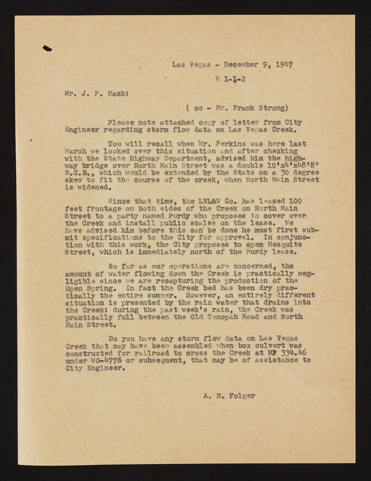
Las Vegas - December 9, 19**7 A w 1-4-2 Mr, J. P. Mack; ( oo - Mr. Frank Strong) Please note attached copy of letter from City Engineer regarding storm flow data on Las Veras Creek. Xou will recall when Mr, Perkins w&s here last March we looked over this situation and after checking with the State Highway Department, advised him the high- way bridge over Horth Main Street was & double 10*x***xb8*8* R.G.S., which would be extended by the State on a 30 degree skew to fit th* course of the creek, when North Main Street is widened. Since that time, the LVL&W Co. has leased 100 feet frontage on both sides of the Creek on North M&ln Street to a party named Purdy who proposes to ©over over the Creek and install public scales on the lease. We h&ve advised him before this can be done he must first submit specifications to the City for approval. In conjunction with this work, the City proposes to open Mesquite Street, whloh Is immediately north of the Purdy lease. So far as our operations are concerned, the amount of water flowing down the Creek is practically negligible since we are recapturing the production of the Open Spring. In fact the Creek bed has been dry practically the entire summer. However, an entirely different situation is presented by the r&in water that drains into the Creek; during the past week*a rain, the Creek was praotioally full between the Old Tonopah Road and North Main Street. Do you have any storm flow data on Las Vegas Creek that may have been assembled when box culvert was constructed for railroad to cross the Creek at MV 33**«**6 tinder WO-^776 or subsequent, that ©ay be of assistance to City Engineer. I ' A. M* Folger

