Copyright & Fair-use Agreement
UNLV Special Collections provides copies of materials to facilitate private study, scholarship, or research. Material not in the public domain may be used according to fair use of copyrighted materials as defined by copyright law. Please cite us.
Please note that UNLV may not own the copyright to these materials and cannot provide permission to publish or distribute materials when UNLV is not the copyright holder. The user is solely responsible for determining the copyright status of materials and obtaining permission to use material from the copyright holder and for determining whether any permissions relating to any other rights are necessary for the intended use, and for obtaining all required permissions beyond that allowed by fair use.
Read more about our reproduction and use policy.
I agree.Information
Digital ID
Permalink
Details
Member of
More Info
Rights
Digital Provenance
Publisher
Transcription
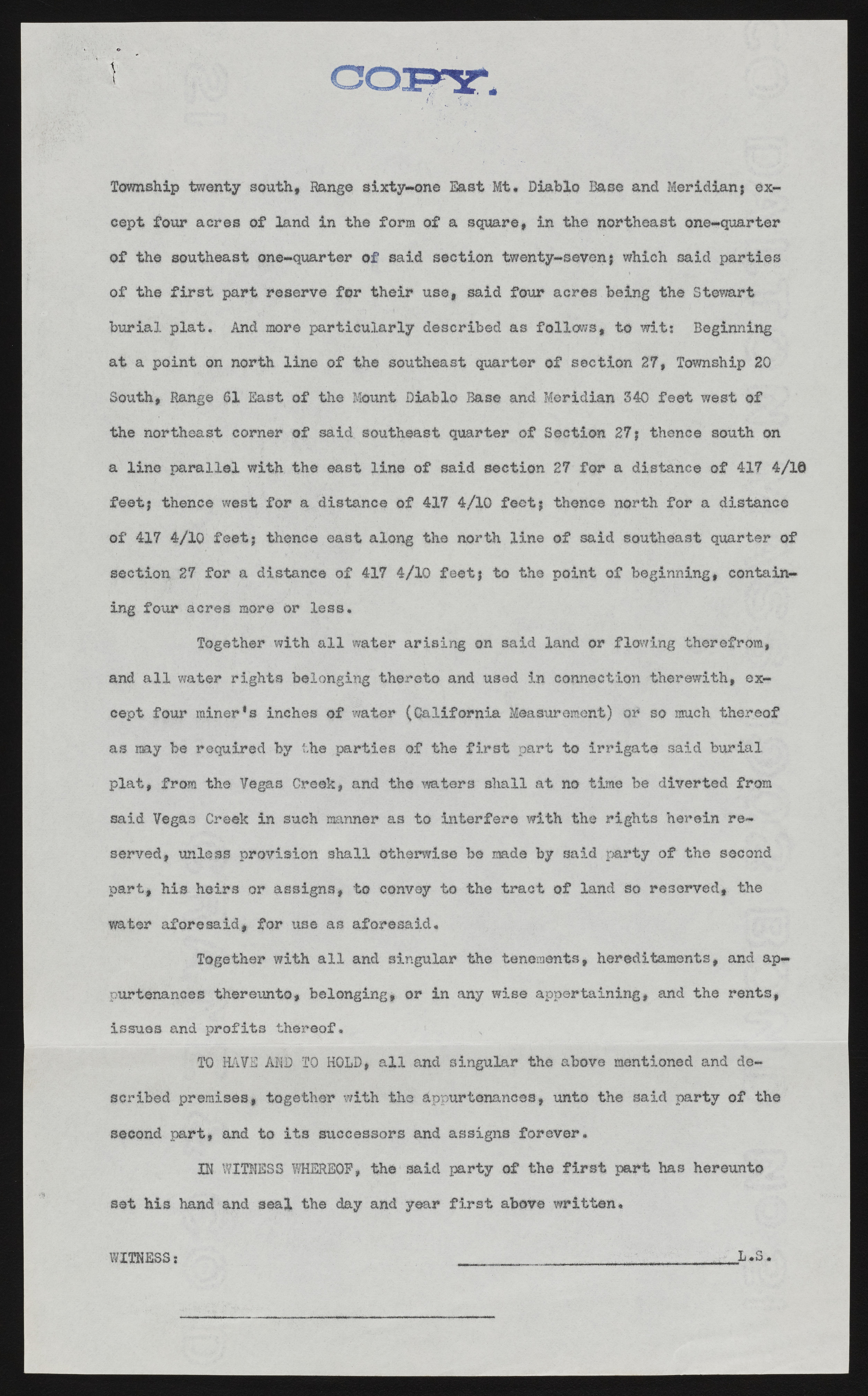
Township twenty south., Range sixty-one East Mt. Diablo Base and Meridianj except four acres of land in the form of a square, in the northeast one-quarter of the southeast one-quarter of said section twenty-seven} which said parties of the first part reserve for their use, said four acres.being the Stewart burial plat. And more particularly described as follows, to wits Beginning at a point on north line of the southeast quarter of section 27, Township 20 South, Range SI East of the Mount Diablo Base and Meridian 340 feet west of the northeast corner of said southeast quarter of Section 27 j thence south, on a line parallel with the east line of said section 27 for a distance of 417 4/1© feet} thence west for a distance of 417 4/10 feet} thence north for a distance of 417 4/lQ feet; thence east along the north line of said southeast quarter of section 27 for a distance of 417 4/lQ feet} to the point of beginning, containing four acres more or less. Together with all water arising on said land or flowing therefrom, and all water rights belonging thereto and used in connection therewith, except four miner’s inches of water (California Measurement) or so much thereof as my be required by the parties of the first part to irrigate said burial plat, from the Vegas Creek, and the waters shall at no time be diverted from said Vegas Creek in such manner as to interfere with the rights herein reserved, unless provision shall otherwise be made by said party of the second part, his heirs or assigns, to convey to the tract of land so reserved,, the water aforesaid, for use as aforesaid. Together with all and singular the tenements, hereditaments, and appurtenances thereunto, belonging, or in any wise appertaining, and the rents, issues and profits thereof. TO HAVE ADD TO HOLD, all and singular the above mentioned and described premises, together with the appurtenances, unto the said party of the second part, and to its successors and assigns forever. IN WITNESS WHEREOF, the said party of the first part has hereunto set his hand and seal the day and year first above written* L ,3 ;# WITNESSi

