Copyright & Fair-use Agreement
UNLV Special Collections provides copies of materials to facilitate private study, scholarship, or research. Material not in the public domain may be used according to fair use of copyrighted materials as defined by copyright law. Please cite us.
Please note that UNLV may not own the copyright to these materials and cannot provide permission to publish or distribute materials when UNLV is not the copyright holder. The user is solely responsible for determining the copyright status of materials and obtaining permission to use material from the copyright holder and for determining whether any permissions relating to any other rights are necessary for the intended use, and for obtaining all required permissions beyond that allowed by fair use.
Read more about our reproduction and use policy.
I agree.Information
Digital ID
Permalink
Details
Member of
More Info
Rights
Digital Provenance
Publisher
Transcription
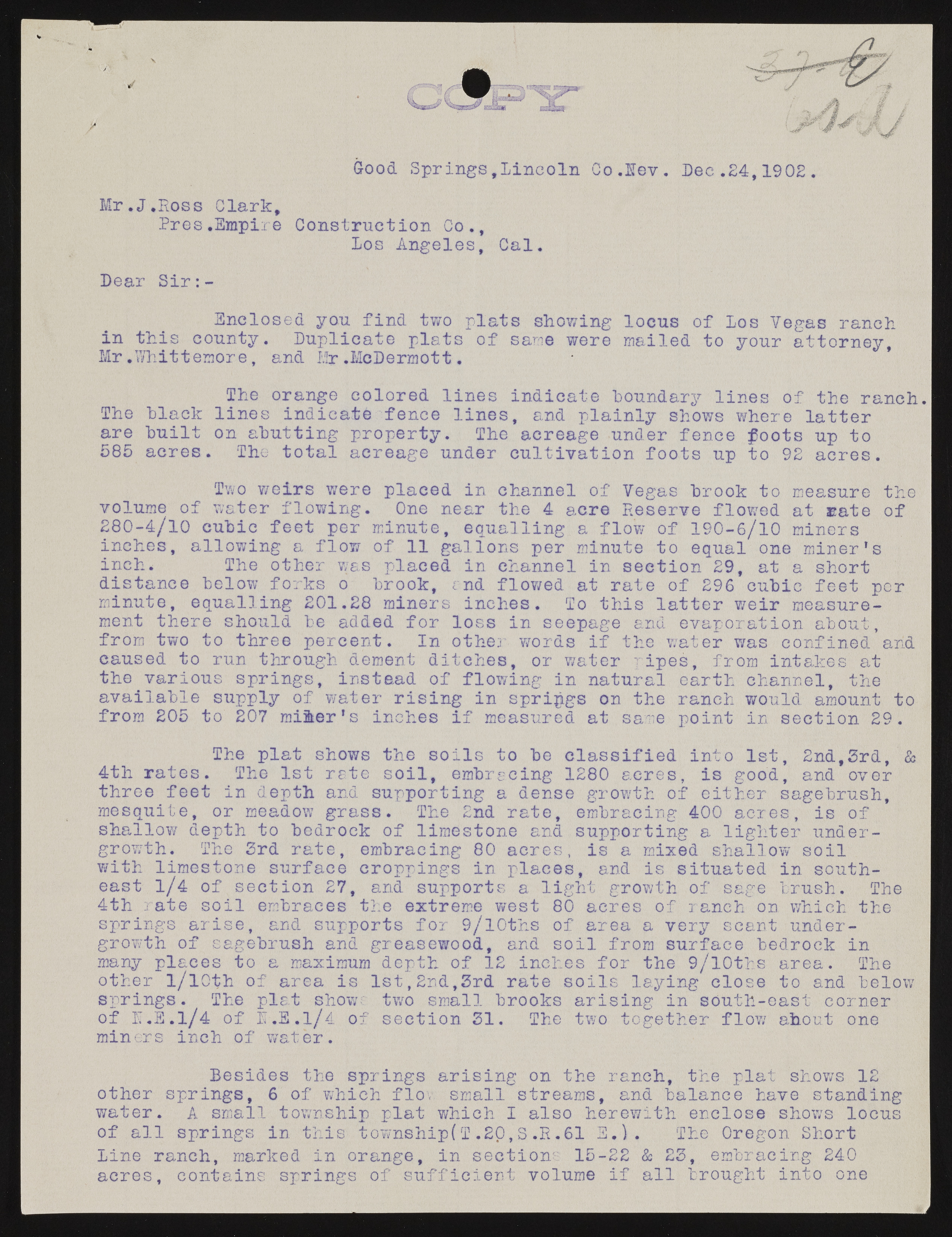
Good Springs,Lincoln Co.lev. Dec .24,1902. Mr .J.Ross Clark, Pres,Empire Constriietion Co., Los Angeles, Cal. Dear Sir:- Enclosed you find two plats showing locus of Los Vegas ranch in this county. Duplicate plats of sane were mailed to your attorney, Mr.Whittemore, and Mr .McDermott. The orange colored lines indicate boundary lines of the ranch. The black lines indicate fence lines, and plainly shows where latter are built on abutting property. The acreage under fence foots up to 585 acres. The total acreage under cultivation foots up to 92 acres. Two weirs were placed in channel of Vegas brook to measure the volume of water flowing. One near the 4 acre Reserve flowed at uate of 280-4/10 cubic feet per minute, equalling a flow of 190-6/10 miners inches, allowing a flow of 11 gallons per minute to equal one miner's inch. The other was placed in channel in section 29, at a short distance below forks o brook, rnd flowed at rate of 296 cubic feet per minute, equalling 201.28 miners inches. To this latter weir measurement there should be added for loss in seepage and evaporation about, from two to three percent. In other words if the v;ater was confined and caused to run through dement ditches, or water pipes, from intakes at the various springs, instead of flowing in natural earth channel, the available supply of water rising in springs on the ranch would amount to from 205 to 207 miner's inches if measured at sane point in section 29. The plat shows the soils to be classified into 1st, 2nd#3rd, & 4th rates. The 1st rate soil, embracing 1280 acres, is good, and over three feet in depth and supporting a dense growth of either sagebrush, mesquite, or meadow grass. The 2nd rate, embracing 400 acres, is of shallow depth to bedrock of limestone and supporting a lighter undergrowth. The 3rd rate, embracing 80 acres, is a mixed shallow soil with limestone surface croppings in places, and is situated in southeast l/4 of section 27, and supports a light growth of sage brush. The 4th rate soil embraces the extreme west 80 acres of ranch on which the springs arise, and supports for 9/lOths of area a very scant undergrowth of sagebrush and greasewood, and soil from surface bedrock in many places to a maximum depth of 12 inches for the 9/10ths area. The other l/lOth of area is 1st,2nd,3rd rate soils laying close to and below springs. The plat showc two small brooks arising in south-east corner of IT.E.l/4 of l.E.l/4 of section 31. The two together flow/ shout one miners inch of water. Besides the springs arising on the ranch, the plat shows 12 other springs, 6 of which flov small streams, and balance have standing water. A small township plat which I also herewith enclose shows locus of all springs in this township(T.20,S.R.61 E.). The Oregon Short line ranch, marked in orange, in section 15-22 & 23, embracing 240 acres, contains springs of sufficient volume if all brought into one

