Copyright & Fair-use Agreement
UNLV Special Collections provides copies of materials to facilitate private study, scholarship, or research. Material not in the public domain may be used according to fair use of copyrighted materials as defined by copyright law. Please cite us.
Please note that UNLV may not own the copyright to these materials and cannot provide permission to publish or distribute materials when UNLV is not the copyright holder. The user is solely responsible for determining the copyright status of materials and obtaining permission to use material from the copyright holder and for determining whether any permissions relating to any other rights are necessary for the intended use, and for obtaining all required permissions beyond that allowed by fair use.
Read more about our reproduction and use policy.
I agree.Information
Digital ID
Permalink
Details
Member of
More Info
Rights
Digital Provenance
Publisher
Transcription
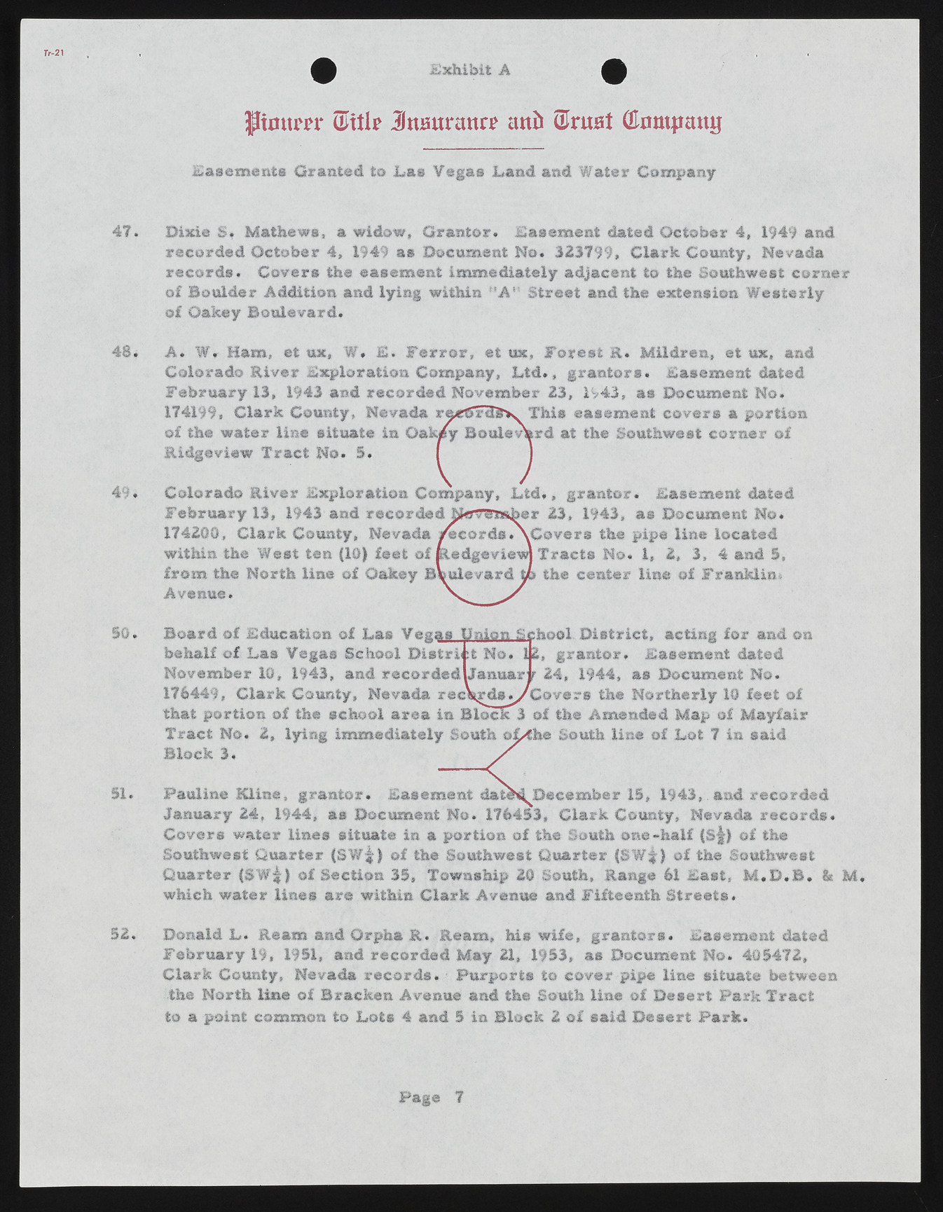
Exhibit A ftontm* (Mile JJttBttnmri* imb Ulruat Gkimpaiuj Easements Granted to Las Vegas Land and Water Company Dixie S. Mathews, a widow, Grantor. Easement dated October 4, 1949 and recorded October 4, 1949 a® Document No. 323799, Clark County, Nevada records. Covers the easement immediately adjacent to the Southwest corner of Boulder Addition and lying within ”A '1 Street and the extension Westerly of Oakey Boulevard. A. W. Ham, et ux, W. E. Ferror, et ux, Forest R. Mildreu, et ux, and Colorado River Exploration Company, Ltd., grantors. Easement dated February 13, 1943 and recorded November 23, 1943, as Document No. 174199, Clark County, Nevada rueCrctfcv This easement covers a portion of the water line situate in Oak/y Boulevhrd at the Southwest corner of Ridgeview Tract No. 5. I 1 Colorado River Exploration Company, L td., grantor. Easement dated February 13, 1943 and recorded hferrsmber 23, 1943, as Document No. 174200, Clark County, Nevada /ecords.XGovers the pipe line located within the West ten (10) feet of Redgevieus Tracts No. 1, 2, 3, 4 and 5, from the North line of Oakey Boulevard to the center line of Franklin* Avenue. S Board of Education of Las Vegas Simon &< hool District, acting for and on , grantor. Easement dated 24, 1944, as Document No. behalf of Las Vegas School District No. November 10, 1943, and recorded Januar 176449, Clark County, Nevada recW ds^/Covers the Northerly 19 feet of that portion of the school area in Block 3 of the Amended Map of Mayfair Tract No. 2, lying immediately South oL<he South line of Lot 7 in said Block 3. Pauline Kline, grantor. Easement d a D e c e m b e r 15, 1943,. and recorded January 24, 1944, as Document No. 176453, Clark County, Nevada records. Covers water lines situate in a portion of the South one-half (Sf) of the Southwest Quarter (SW$) of the Southwest Quarter (SW f) of the Southwest Quarter i&W'k} of Section 35, Township 20 South, Range 61 East, M .D .B . & which water lines are within Clark Avenue and Fifteenth Streets. M, Donald L . Ream and Orpha K. Ream, his wife, grantors. Easement dated February 19, 1951, and recorded May 21, 1953, as Document No. 405472, Clark County, Nevada records. ? Purports to cover pipe line situate between the North line of Bracken Avenue and the South line of Desert Park Tract to a point common to Lots 4 and 5 in Block 2 of said Desert Park. Page 7

