Copyright & Fair-use Agreement
UNLV Special Collections provides copies of materials to facilitate private study, scholarship, or research. Material not in the public domain may be used according to fair use of copyrighted materials as defined by copyright law. Please cite us.
Please note that UNLV may not own the copyright to these materials and cannot provide permission to publish or distribute materials when UNLV is not the copyright holder. The user is solely responsible for determining the copyright status of materials and obtaining permission to use material from the copyright holder and for determining whether any permissions relating to any other rights are necessary for the intended use, and for obtaining all required permissions beyond that allowed by fair use.
Read more about our reproduction and use policy.
I agree.Information
Digital ID
Permalink
Details
Member of
More Info
Rights
Digital Provenance
Publisher
Transcription
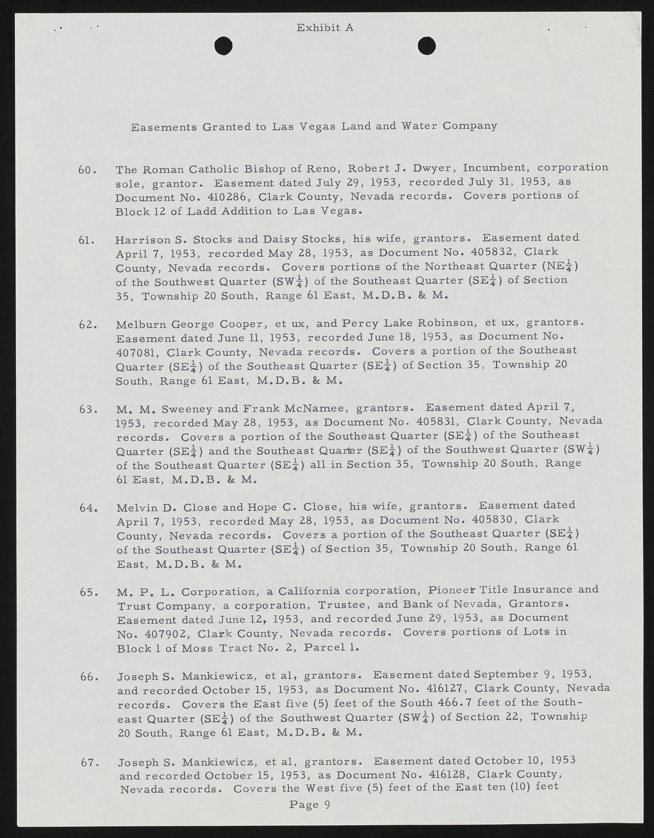
E x h ib it A E asem en ts G ranted to Las V egas Land and W ater Com pany 60. The R om an C atholic B ishop of R en o, R ob ert J. D w yer, Incum bent, corp ora tion so le , g ra n tor. E asem en t dated July 29, 1953, r e c o r d e d July 31, 1953, as D ocum ent N o. 410286, C lark County, Nevada r e c o r d s . C overs p ortion s of B lo ck 12 of Ladd A ddition to L as V eg a s. 61. H a rrison S . Stocks and D aisy S tock s, his w ife, g ra n to rs. E asem ent dated A p ril 7, 1953, r e c o r d e d M ay 28, 1953, as D ocum ent N o. 405832, C lark County, Nevada r e c o r d s . C overs portion s o f the N ortheast Q uarter (N E 4 ) of the Southwest Q uarter (SW ^) o f the Southeast Q uarter (SE;|) of S ection 35, Township 20 South, Range 61 E ast, M .D .B . & M . 62. M elburn G eorge C oop er, et ux, and P e r c y Lake R obinson, et ux, g ra n tors. E asem en t dated June 11, 1953, r e c o r d e d June 18, 1953, as D ocum ent N o. 407081, C lark County, Nevada r e c o r d s . C overs a p ortion o f the Southeast Q uarter (S E *) of the Southeast Q uarter (SE ^) o f S ection 35, Tow nship 20 South, Range 61 E ast, M .D .B . & M . 63. M . M . Sw eeney and F rank M cN am ee, g ra n to rs. E asem ent dated A p ril 7, 1953, r e c o r d e d May 28, 1953, as D ocum ent N o. 405831, C lark County, Nevada r e c o r d s . C overs a p ortion o f the Southeast Q uarter (SE^:) o f the Southeast Q uarter (SE^:) and the Southeast Quarter (SE^) of the Southwest Q uarter (SW *) o f the Southeast Q u arter (SE ^) all in S ection 35, Township 20 South, Range 61 E ast, M .D .B . & M . 64. M elvin D . C lose and Hope C . C lo se , his w ife, g ra n to rs. E asem ent dated A p ril 7, 1953, r e c o r d e d May 28, 1953, as D ocum ent N o. 405830, C lark County, Nevada r e c o r d s . C overs a p ortion o f the Southeast Q uarter (SE 4 ) of the Southeast Q uarter (S E *) of S ection 35, Tow nship 20 South, Range 61 E ast, M .D .B . & M . 65. M . P . L . C orp oration , a C aliforn ia corp ora tion , P io n e e r Title Insurance and T ru st C om pany, a co rp ora tion , T ru stee, and Bank o f Nevada, G ran tors. E asem ent dated June 12, 1953, and r e c o r d e d June 29, 1953, as D ocum ent N o. 407902, C lark County, Nevada r e c o r d s . C overs portion s o f L ots in B lo ck 1 o f M oss T ra ct N o. 2, P a r c e l 1. 66. J o s e p h s . M ankiew icz, et a l, g ra n to rs. E asem en t dated Septem ber 9, 1953, and r e c o r d e d O ctober 15, 1953, as D ocum ent N o. 416127, C lark County, Nevada r e c o r d s . C overs the E ast five (5) feet o f the South 4 6 6 .7 feet of the Southeast Q uarter (SEjf) o f the Southwest Q uarter (SW |) of S ection 22, Township 20 South, Range 61 E ast, M .D .B . & M . J o s e p h s . M ankiew icz, et al, g ra n to rs. E asem en t dated O ctober 10, 1953 and r e c o r d e d O ctober 15, 1953, as D ocum ent N o. 416128, C lark County, Nevada r e c o r d s . C ov ers the W est five (5) feet of the E ast ten (10) feet P age 9 67.

