Copyright & Fair-use Agreement
UNLV Special Collections provides copies of materials to facilitate private study, scholarship, or research. Material not in the public domain may be used according to fair use of copyrighted materials as defined by copyright law. Please cite us.
Please note that UNLV may not own the copyright to these materials and cannot provide permission to publish or distribute materials when UNLV is not the copyright holder. The user is solely responsible for determining the copyright status of materials and obtaining permission to use material from the copyright holder and for determining whether any permissions relating to any other rights are necessary for the intended use, and for obtaining all required permissions beyond that allowed by fair use.
Read more about our reproduction and use policy.
I agree.Information
Digital ID
Permalink
Details
More Info
Rights
Digital Provenance
Publisher
Transcription
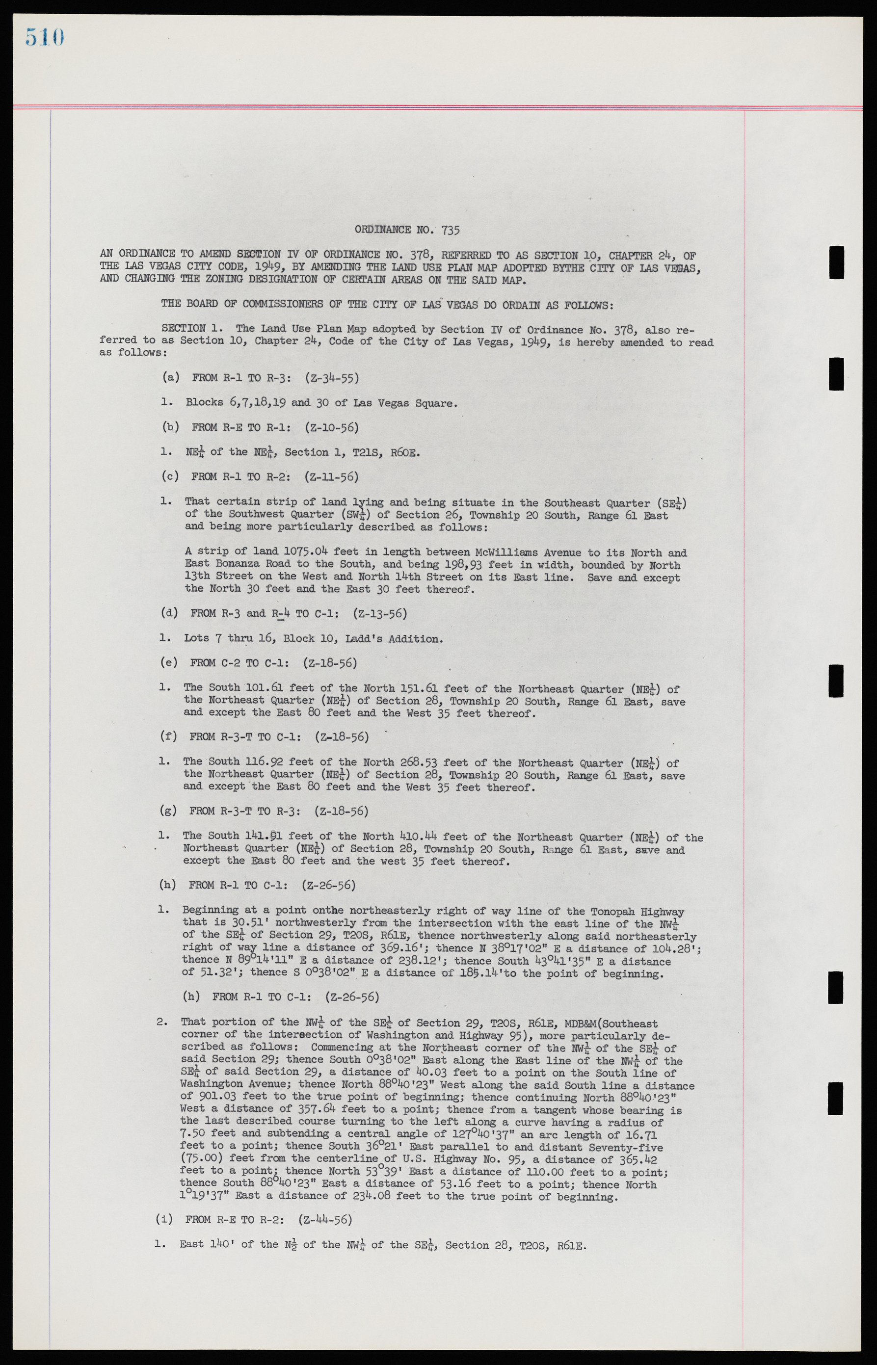
AN ORDINANCE TO AMEND SECTION IV OF ORDINANCE NO. 378, REFERRED TO AS SECTION 10, CHAPTER 24, OF THE LAS VEGAS CITY CODE, 1949, BY AMENDING THE LAND USE PLAN MAP ADOPTED BY THE CITY OF LAS VEGAS, AND CHANGING THE ZONING DESIGNATION OF CERTAIN AREAS ON THE SAID MAP. THE BOARD OF COMMISSIONERS OF THE CITY OF LAS VEGAS DO ORDAIN AS FOLLOWS: SECTION 1. The Land Use Plan Map adopted by Section IV of Ordinance No. 378, also referred to as Section 10, Chapter 24, Code of the City of Las Vegas, 1949, is hereby amended to read as follows: (a) FROM R-1 TO R-3: (Z-34-55) 1. Blocks 6,7,18,19 and 30 of Las Vegas Square. (b) FROM R-E TO R-1: (Z-10-56) 1. NE¼ of the NE¼, Section 1, T21S, R60E. (c) FROM R-1 TO R-2: (Z-ll-56) 1. That certain strip of land lying and being situate in the Southeast Quarter (SE¼) of the Southwest Quarter (SW¼) of Section 26, Township 20 South, Range 6l East and being more particularly described as follows: A strip of land 1075.04 feet in length between McWilliams Avenue to its North and East Bonanza Road to the South, and being 198,93 feet in width, bounded by North 13th Street on the West and North l4th Street on its East line. Save and except the North 30 feet and the East 30 feet thereof. (d) FROM R-3 and R-4 TO C-1: (Z-13-56) 1. Lots 7 thru 16, Block 10, Ladd’s Addition. (e) FROM C-2 TO C-1: (Z-18-56) 1. The South 101.61 feet of the North 151.61 feet of the Northeast Quarter (NE¼) of the Northeast Quarter (NE¼) of Section 28, Township 20 South, Range 6l East, save and except the East 80 feet and the West 35 feet thereof. (f) FROM R-3-T TO C-1: (Z-18-56) 1. The South 116.92 feet of the North 268.53 feet of the Northeast Quarter (NE¼) of the Northeast Quarter (NE¼) of Section 28, Township 20 South, Range 6l East, save and except the East 80 feet and the West 35 feet thereof. (g) FROM R-3-T TO R-3: (Z-18-56) 1. The South l4l.9l feet of the North 410.44 feet of the Northeast Quarter (NE¼) of the Northeast Quarter (NE¼) of Section 28, Township 20 South, Range 6l East, save and except the East 80 feet and the west 35 feet thereof. (h) FROM R-1 TO C-1: (Z-26-56) 1. Beginning at a point on the northeasterly right of way line of the Tonopah Highway that is 30.51' northwesterly from the intersection with the east line of the NW¼ of the SE¼ of Section 29, T20S, R6lE, thence northwesterly along said northeasterly right of way line a distance of 369.16’; thence N 38o17'02" E a distance of 104.28'; thence N 89°14,ll" E a distance of 238.12'; thence South 43°41'35" E a distance of 51.32'; thence S 0°38'02" E a distance of l85.l4'to the point of beginning. (h) FROM R-1 TO C-1: (Z-26-56) 2. That portion of the NW¼ of the SE¼ of Section 29, T20S, R6lE, MDB&M(Southeast corner of the intersection of Washington and Highway 95) more particularly described as follows: Commencing at the Northeast corner of the NW¼ of the SE¼ of said Section 29; thence South 0°38'02" East along the East line of the NW¼ of the SE¼ of said Section 29, a distance of 40.03 feet to a point on the South line of Washington Avenue; thence North 88°40'23" West along the said South line a distance of 901.03 feet to the true point of beginning; thence continuing North 88°40'23" West a distance of 357.64 feet to a point; thence from a tangent whose bearing is the last described course turning to the left along a curve having a radius of 7.50 feet and subtending a central angle of 127°40'37” an arc length of 16.71 feet to a point; thence South 36°21' East parallel to and distant Seventy-five (75.00) feet from the centerline of U.S. Highway No. 95 a distance of 365.42 feet to a point: thence North 53°39' East a distance of 110.00 feet to a point; thence South 88°40'23" East a distance of 53.16 feet to a point; thence North 1°19'37" East a distance of 234.08 feet to the true point of beginning. (i) FROM R-E TO R-2: (Z-44-56) 1. East 140' of the N½ of the NW¼ of the SE¼, Section 28, T20S, R6lE. ORDINANCE NO. 735

