Copyright & Fair-use Agreement
UNLV Special Collections provides copies of materials to facilitate private study, scholarship, or research. Material not in the public domain may be used according to fair use of copyrighted materials as defined by copyright law. Please cite us.
Please note that UNLV may not own the copyright to these materials and cannot provide permission to publish or distribute materials when UNLV is not the copyright holder. The user is solely responsible for determining the copyright status of materials and obtaining permission to use material from the copyright holder and for determining whether any permissions relating to any other rights are necessary for the intended use, and for obtaining all required permissions beyond that allowed by fair use.
Read more about our reproduction and use policy.
I agree.Information
Digital ID
Permalink
Details
More Info
Rights
Digital Provenance
Publisher
Transcription
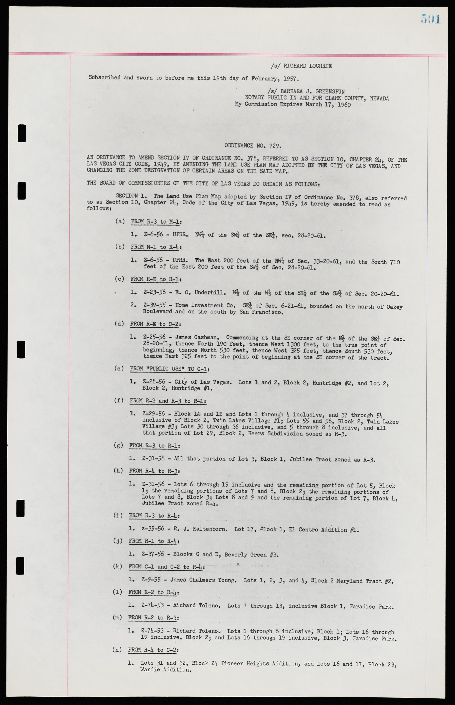
/s/ RICHARD LOCHRIE Subscribed and sworn to before me this 19th day of February, 1957. /s/ BARBARA J. GREENSPUN NOTARY PUBLIC IN AND FOR CLARK COUNTY, NEVADA My Commission Expires March 17, 1960 ORDINANCE N0. 729. AN ORDINANCE TO AMEND SECTION IV OF ORDINANCE NO. 378, REFERRED TO AS SECTION 10, CHAPTER 24, OF THE LAS VEGAS CITY CODE, 1949, BY AMENDING THE LAND USE PLAN MAP ADOPTED BY THE CITY OF LAS VEGAS, AND CHANGING THE ZONE DESIGNATION OF CERTAIN AREAS ON THE SAID MAP. THE BOARD OF COMMISSIONERS OF THE CITY OF US VEGAS DO ORDAIN AS FOLLOWS: SECTION 1. The Land Use Flan Map adopted by Section IV of Ordinance No. 378, also referred to as Section 10, Chapter 24, Code of the City of Las Vegas, 1949, is hereby amended to read as follows: (a) FROM R-3 to M-1: 1. Z-6-56 - UPRR. NW¼ of the SW¼ of the SE¼, sec. 28-20-61. (b) FROM M-1 to R-4 1. Z-6-S6 - UPRR. The Bast 200 feet of the NW¼ of Sec. 33-20-61, and the South 710 feet of the East 200 feet of the SW¼ of Sec. 28-20-61. (c) FROM R-E to R-1: 1. Z-23-56 - E. O. Underhill. W½ of the W½ of the SE¼ of the SW¼ of Sec. 20-20-61. 2. Z-39-55 - Home Investment Co. SE¼ of Sec. 6-21-61, bounded on the north of Oakey Boulevard and on the south by San Francisco. (d) FROM R-E to C-2: 1. Z-25-56 - James Cashman. Commencing at the SE corner of the N½ of the SE¼ of Sec. 28-20-61, thence North 190 feet, thence West 1300 feet, to the true point of beginning, thence North 530 feet, thence West 325 feet, thence South 530 feet, thence East 325 feet to the point of beginning at the SE corner of the tract. (e) FROM "PUBLIC USE" TO C-1: 1. Z-28-56 - City of Las Vegas. Lots 1 and 2, Block 2, Huntridge #2, and Lot 2, Block 2, Huntridge #1. (f) FROM R-2 and R-3 to R-1: 1. Z-29-56 - Block 1A and IB and Lots 1 through 4 inclusive, and 37 through 54 inclusive of Block 2, Twin Lakes Village #1; Lots 55 and 56, Block 2, Twin Lakes Village #3; Lots 30 through 36 inclusive, and 5 through 8 inclusive, and all that portion of Lot 29, Block 2, Heers Subdivision zoned as R-3. (g) FROM R-3 to R-1: 1. Z-31-56 - All that portion of Lot 3, Block 1, Jubilee Tract zoned as R-3. (h) FROM R-4 to R-3: 1. Z-31-56 - Lots 6 through 19 inclusive and the remaining portion of Lot 5, Block 1; the remaining portions of Lots 7 and 8, Block 2; the remaining portions of Lots 7 and 8, Block 3; Lots 8 and 9 and the remaining portion of Lot 7, Block 4, Jubilee Tract zoned R-4. (i) FROM R-3 to R-4: 1. Z-35-56 - R. J. Kaltenborn. Lot 17, Block 1, El Centro Addition #1. (j) FROM R-1 to R-4: 1. Z-37-56 - Blocks C and D, Beverly Green #3. (k) FROM C-1 and C-2 to R-4: 1. Z-9-55 - James Chalmers Young. Lots 1, 2, 3, and 4, Block 2 Maryland Tract #2. (l) FROM R-2 to R-4: 1. Z-74-53 - Richard Toleno. Lots 7 through 13, inclusive Block 1, Paradise Park. (m) FROM R-2 to R-3: 1. Z-74-53 - Richard Toleno. Lots 1 through 6 inclusive, Block l; Lots 16 through 19 inclusive, Block 2; and Lots 16 through 19 inclusive, Block 3, Paradise Park. (n) FRCM R-4 to C-2: 1. Lots 31 and 32, Block 24 Pioneer Heights Addition, and Lots 16 and 17, Block 23, Wardie Addition.

