Copyright & Fair-use Agreement
UNLV Special Collections provides copies of materials to facilitate private study, scholarship, or research. Material not in the public domain may be used according to fair use of copyrighted materials as defined by copyright law. Please cite us.
Please note that UNLV may not own the copyright to these materials and cannot provide permission to publish or distribute materials when UNLV is not the copyright holder. The user is solely responsible for determining the copyright status of materials and obtaining permission to use material from the copyright holder and for determining whether any permissions relating to any other rights are necessary for the intended use, and for obtaining all required permissions beyond that allowed by fair use.
Read more about our reproduction and use policy.
I agree.Information
Digital ID
Permalink
Details
More Info
Rights
Digital Provenance
Publisher
Transcription
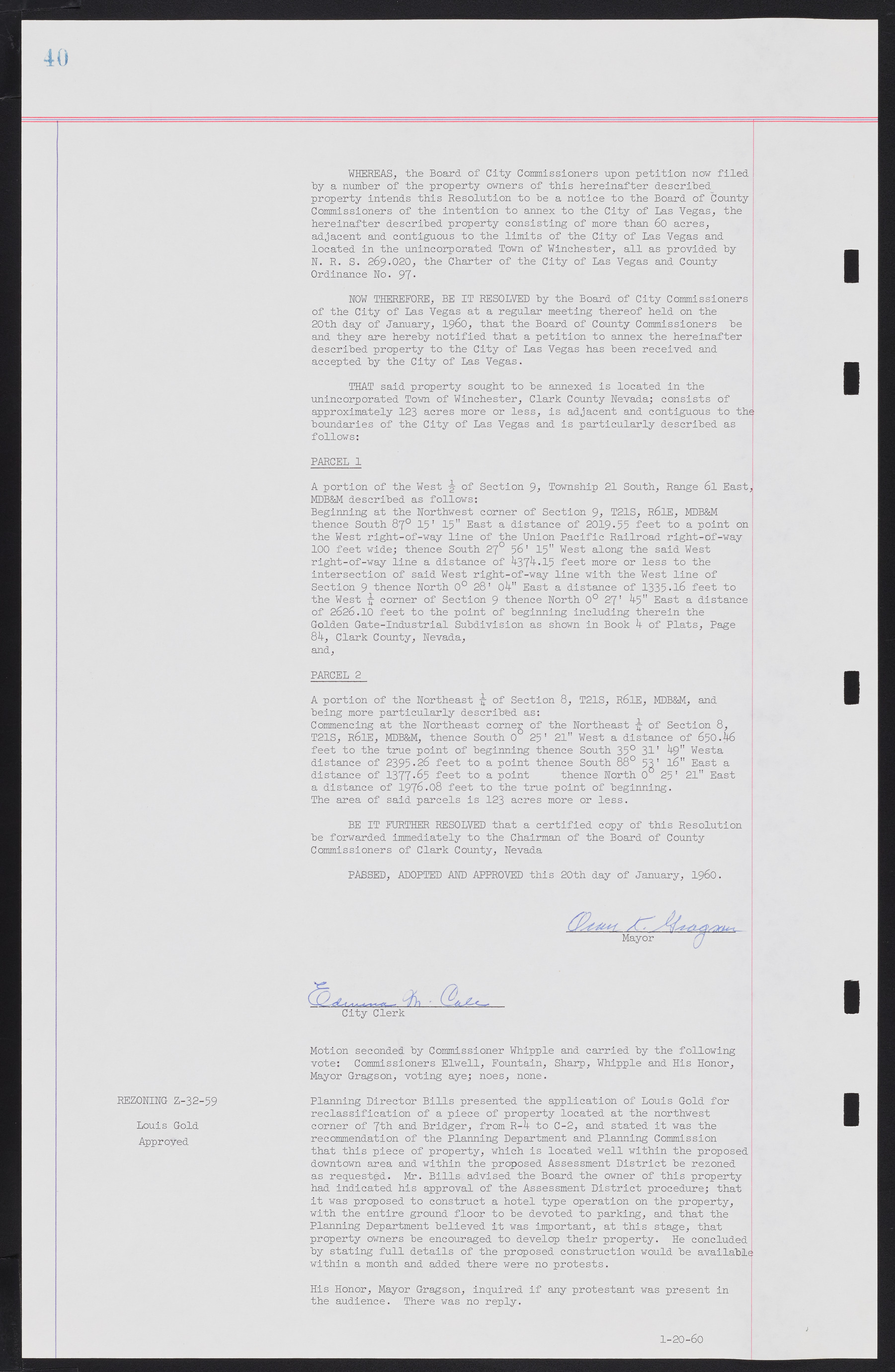
WHEREAS, the Board of City Commissioners upon petition now filed by a number of the property owners of this hereinafter described property intends this Resolution to be a notice to the Board of County Commissioners of the intention to annex to the City of Las Vegas, the hereinafter described property consisting of more than 60 acres, adjacent and contiguous to the limits of the City of Las Vegas and located in the unincorporated Town of Winchester, all as provided by N. R. S. 269.020, the Charter of the City of Las Vegas and County Ordinance No. 97. NOW THEREFORE, BE IT RESOLVED by the Board of City Commissioners of the City of Las Vegas at a regular meeting thereof held on the 20th day of January, 1960, that the Board of County Commissioners be and they are hereby notified that a petition to annex the hereinafter described property to the City of Las Vegas has been received and accepted by the City of Las Vegas. THAT said property sought to be annexed is located in the unincorporated Town of Winchester, Clark County Nevada; consists of approximately 123 acres more or less, is adjacent and contiguous to the boundaries of the City of Las Vegas and is particularly described as follows: PARCEL 1 A portion of the West ½ of Section 9, Township 21 South, Range 61 East, MDB&M described as follows: Beginning at the Northwest corner of Section 9, T21S, R61E, MDB&M thence South 87° 15' 15" East a distance of 2019.55 feet to a point on the West right-of-way line of the Union Pacific Railroad right-of-way 100 feet wide; thence South 27° 56' 15" West along the said West right-of-way line a distance of 4374.15 feet more or less to the intersection of said West right-of-way line with the West line of Section 9 thence North 0° 28' 04" East a distance of 1335.16 feet to the West corner of Section 9 thence North 0° 27' 45" East a distance of 2626.10 feet to the point of beginning including therein the Golden Gate-Industrial Subdivision as shown in Book 4 of Plats, Page 84, Clark County, Nevada, and, PARCEL 2 A portion of the Northeast of Section 8, T21S, R61E, MDB&M, and being more particularly described as: Commencing at the Northeast corner of the Northeast ¼ of Section 8, T21S, R61E, MDB&M, thence South 0° 25' 21" West a distance of 650.46 feet to the true point of beginning thence South 35° 31' 49" Westa distance of 2395.26 feet to a point thence South 88° 53' 16" East a distance of 1377-65 feet to a point thence North 0° 25' 21" East a distance of 1976.08 feet to the true point of beginning. The area of said parcels is 123 acres more or less. BE IT FURTHER RESOLVED that a certified copy of this Resolution be forwarded immediately to the Chairman of the Board of County Commissioners of Clark County, Nevada PASSED, ADOPTED AND APPROVED this 20th day of January, 1960. Motion seconded by Commissioner Whipple and carried by the following vote: Commissioners Elwell, Fountain, Sharp, Whipple and His Honor, Mayor Gragson, voting aye; noes, none. Planning Director Bills presented the application of Louis Gold for reclassification of a piece of property located at the northwest corner of 7th and Bridger, from R-4 to C-2, and stated it was the recommendation of the Planning Department and Planning Commission that this piece of property, which is located well within the proposed downtown area and within the proposed Assessment District be rezoned as requested. Mr. Bills advised the Board the owner of this property had indicated his approval of the Assessment District procedure; that it was proposed to construct a hotel type operation on the property, with the entire ground floor to be devoted to parking, and that the Planning Department believed it was important, at this stage, that property owners be encouraged to develop their property. He concluded by stating full details of the proposed construction would be available within a month and added there were no protests. His Honor, Mayor Gragson, inquired if any protestant was present in the audience. There was no reply. 1-20-60 REZONING Z-32-59 Louis Gold Approved

