Copyright & Fair-use Agreement
UNLV Special Collections provides copies of materials to facilitate private study, scholarship, or research. Material not in the public domain may be used according to fair use of copyrighted materials as defined by copyright law. Please cite us.
Please note that UNLV may not own the copyright to these materials and cannot provide permission to publish or distribute materials when UNLV is not the copyright holder. The user is solely responsible for determining the copyright status of materials and obtaining permission to use material from the copyright holder and for determining whether any permissions relating to any other rights are necessary for the intended use, and for obtaining all required permissions beyond that allowed by fair use.
Read more about our reproduction and use policy.
I agree.Information
Digital ID
Permalink
Details
More Info
Rights
Digital Provenance
Publisher
Transcription
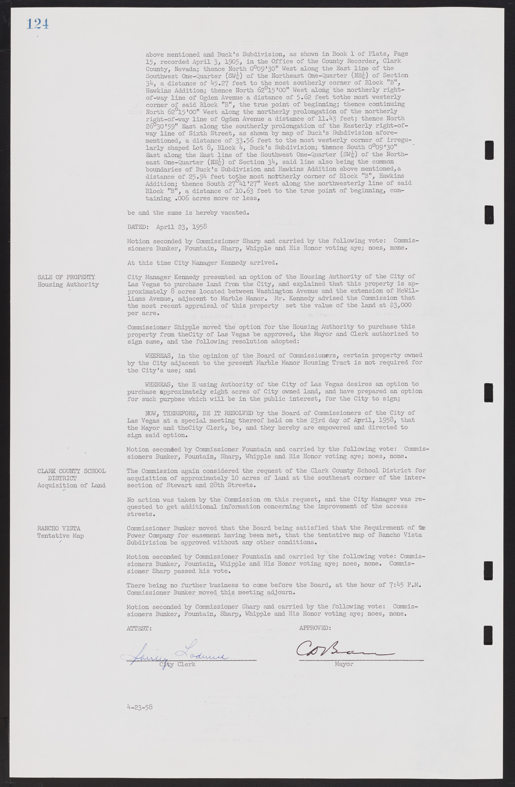
above mentioned and Buck's Subdivision, as shown in Book 1 of Plats, Page 15, recorded April 3, 1905, in the Office of the County Recorder, Clark County, Nevada; thence North 0°09'30" West along the East line of the Southwest One-Quarter (SW¼) of the Northeast One-Quarter (NE¼) of Section 34, a distance of 45.27 feet to the most southerly corner of Block "B", Hawkins Addition; thence North 62°15'00" West along the northerly right-of-way line of Ogden Avenue a distance of 5.62 feet to the most westerly corner of said Block "B", the true point of beginning; thence continuing North 62°15'00" West along the northerly prolongation of the northerly right-of-way line of Ogden Avenue a distance of 11.43 feet; thence North 26°30'59" East along the southerly prolongation of the Easterly right-of-way line of Sixth Street, as shown by map of Buck's Subdivision aforementioned, a distance of 33.56 feet to the most westerly comer of irregularly shaped Lot 8, Block 4, Buck's Subdivision; thence South 0°09'30" East along the East line of the Southwest One-Quarter (SW¼) of the Northeast One-Quarter (NE¼) of Section 34, said line also being the common boundaries of Buck's Subdivision and Hawkins Addition above mentioned, a distance of 25.94 feet tothe most northerly comer of Block "B", Hawkins Addition; thence South 27°41'27" West along the northwesterly line of said Block "B", a distance of 10.63 feet to the true point of beginning, containing .006 acres more or less, be and the same is hereby vacated. DATED: April 23, 1958 Motion seconded by Commissioner Sharp and carried by the following vote: Commissioners Bunker, Fountain, Sharp, Whipple and His Honor voting aye; noes, none. At this time City Manager Kennedy arrived. SALE OF PROPERTY City Manager Kennedy presented an option of the Housing Authority of the City of Housing Authority Las Vegas to purchase land from the City, and explained that this property is approximately 8 acres located between Washington Avenue and the extension of McWilliams Avenue, adjacent to Marble Manor. Mr. Kennedy advised the Commission that the most recent appraisal of this property set the value of the land at $3,000 per acre. Commissioner Whipple moved the option for the Housing Authority to purchase this property from the City of Las Vegas be approved, the Mayor and Clerk authorized to sign same, and the following resolution adopted: WHEREAS, in the opinion of the Board of Commissioners, certain property owned by the City adjacent to the present Marble Manor Housing Tract is not required for the City's use; and WHEREAS, the H using Authority of the City of Las Vegas desires an option to purchase approximately eight acres of City owned land, and have prepared an option for such purpose which will be in the public interest, for the City to sign; NOW, THEREFORE, BE IT RESOLVED by the Board of Commissioners of the City of Las Vegas at a special meeting thereof held on the 23rd day of April, 1958, that the Mayor and the City Clerk, be, and they hereby are empowered and directed to sign said option. Motion seconded by Commissioner Fountain and carried by the following vote: Commissioners Bunker, Fountain, Sharp, Whipple and His Honor voting aye; noes, none. CLARK COUNTY SCHOOL The Commission again considered the request of the Clark County School District for DISTRICT acquisition of approximately 10 acres of land at the southeast comer of the intersection Acquisition of Land of Stewart and 28th Streets. No action was taken by the Commission on this request, and the City Manager was requested to get additional, information concerning the improvement of the access streets. RANCHO VISTA Commissioner Bunker moved that the Board being satisfied that the Requirement of the Tentative Map Power Company for easement having been met, that the tentative map of Rancho Vista Subdivision be approved without any other conditions. Motion seconded by Commissioner Fountain and carried by the following vote: Commissioners Bunker, Fountain, Whipple and His Honor voting aye; noes, none. Commissioner Sharp passed his vote. There being no further business to come before the Board, at the hour of 7:45 P.M. Commissioner Bunker moved this meeting adjourn. Motion seconded by Commissioner Sharp and carried by the following vote: Commissioners Bunker, Fountain, Sharp, Whipple and His Honor voting aye; noes, none. ATTEST: APPROVED: 4-23-58

