Copyright & Fair-use Agreement
UNLV Special Collections provides copies of materials to facilitate private study, scholarship, or research. Material not in the public domain may be used according to fair use of copyrighted materials as defined by copyright law. Please cite us.
Please note that UNLV may not own the copyright to these materials and cannot provide permission to publish or distribute materials when UNLV is not the copyright holder. The user is solely responsible for determining the copyright status of materials and obtaining permission to use material from the copyright holder and for determining whether any permissions relating to any other rights are necessary for the intended use, and for obtaining all required permissions beyond that allowed by fair use.
Read more about our reproduction and use policy.
I agree.Information
Digital ID
Permalink
Details
More Info
Rights
Digital Provenance
Publisher
Transcription
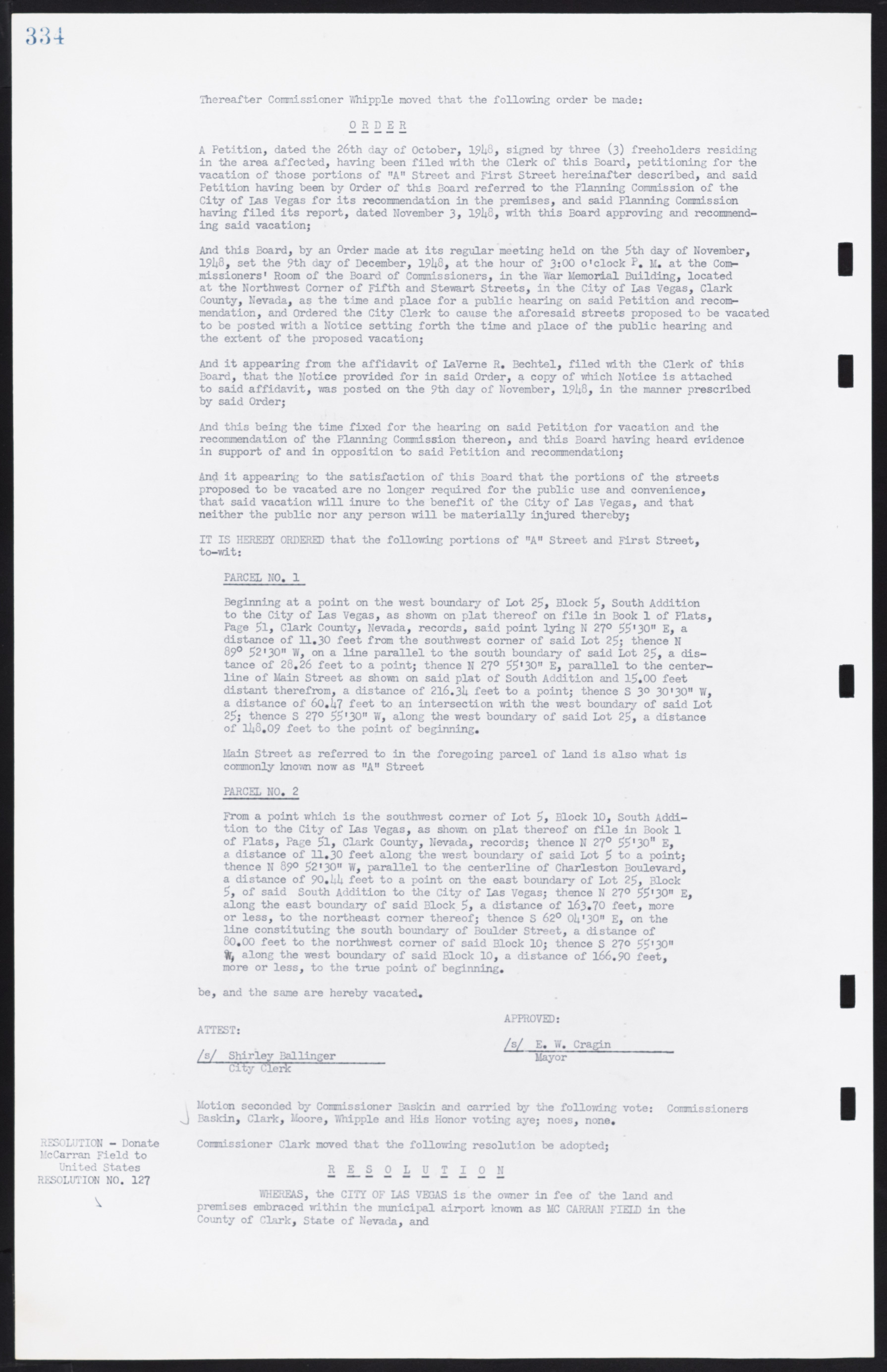
334 Thereafter Commissioner Whipple moved that the following order be made: A Petition, dated the 26th day of October, 1948, signed by three (3) freeholders residing in the area affected, having been filed with the Clerk of this Board, petitioning for the vacation of those portions of "A" Street and First Street hereinafter described, and said Petition having been by Order of this Board referred to the Planning Commission of the City of Las Vegas for its recommendation in the premises, and said Planning Commission having filed its report, dated November 3* 1948, with this Board approving and recommending said vacation; And this Board, by an Order made at its regular meeting held on the 5th day of November, 1948, set the 9th day of December, 1948, at the hour of 3:00 o'clock P. M. at the Commissioners' Room of the Board of Commissioners, in the War Memorial Building, located at the Northwest Comer of Fifth and Stewart Streets, in the City of Las Vegas, Clark County, Nevada, as the time and place for a public hearing on said Petition and recommendation, and Ordered the City Clerk to cause the aforesaid streets proposed to be vacated to be posted with a Notice setting forth the time and place of the public hearing and the extent of the proposed vacation; And it appearing from the affidavit of LaVerne R. Bechtel, filed with the Clerk of this Board, that the Notice provided for in said Order, a copy of which Notice is attached to said affidavit, was posted on the 9th day of November, 1948, in the manner prescribed by said Order; And this being the time fixed for the hearing on said Petition for vacation and the recommendation of the Planning Commission thereon, and this Board having heard evidence in support of and in opposition to said Petition and recommendation; And it appearing to the satisfaction of this Board that the portions of the streets proposed to be vacated are no longer required for the public use and convenience, that said vacation will inure to the benefit of the City of Las Vegas, and that neither the public nor any person will be materially injured thereby; IT IS HEREBY ORDERED that the following portions of "A" Street and First Street, to-wit: PARCEL NO. 1 Beginning at a point on the west boundary of Lot 25, Block 5, South Addition to the City of Las Vegas, as shown on plat thereof on file in Book 1 of Plats, Page 51, Clark County, Nevada, records, said point lying N 27° 55'30" E, a distance of 11.30 feet from the southwest comer of said Lot 25; thence N 89° 52'30" W, on a line parallel to the south boundary of said Lot 25, a distance of 28.26 feet to a point; thence N 27° 55'30" E, parallel to the center- line of Main Street as shown on said plat of South Addition and 15.00 feet distant therefrom, a distance of 216.34 feet to a point; thence S 3° 30'30" W, a distance of 60.47 feet to an intersection with the west boundary of said Lot 25; thence S 27° 55'30" W, along the west boundary of said Lot 25, a distance of 148.09 feet to the point of beginning. Main Street as referred to in the foregoing parcel of land is also what is commonly known now as "A" Street PARCEL NO. 2 From a point which is the southwest corner of Lot 5, Block 10, South Addition to the City of Las Vegas, as shown on plat thereof on file in Book 1 of Plats, Page 5l, Clark County, Nevada, records; thence N 27° 55'30" E, a distance of 11.30 feet along the west boundary of said Lot 5 to a point; thence N 89° 52'30" W, parallel to the centerline of Charleston Boulevard, a distance of 90.44 feet to a point on the east boundary of Lot 25, Block 5, of said South Addition to the City of Las Vegas; thence N 27° 55'30" E, along the east boundary of said Block 5, a distance of 163.70 feet, more or less, to the northeast comer thereof; thence S 62° 04'30" E, on the line constituting the south boundary of Boulder Street, a distance of 80.00 feet to the northwest comer of said Block 10; thence S 270 55'30" W, along the west boundary of said Block 10, a distance of 166.90 feet, more or less, to the true point of beginning. be, and the same are hereby vacated. APPROVED: ATTEST: /s/ E. W. Cragin /s/ Shirley Ballinger Mayor City Clerk Motion seconded by Commissioner Baskin and carried by the following vote: Commissioners Baskin, Clark, Moore, Whipple and His Honor voting aye; noes, none. RESOLUTION - Donate Commissioner Clark moved that the following resolution be adopted; McCarran Field to United States RESOLUTION RESOLUTION NO. 127 WHEREAS, the CITY OF IAS VEGAS is the owner in fee of the land and premises embraced within the municipal airport known as MCCARRAN FIELD in the County of Clark, State of Nevada, and

