Copyright & Fair-use Agreement
UNLV Special Collections provides copies of materials to facilitate private study, scholarship, or research. Material not in the public domain may be used according to fair use of copyrighted materials as defined by copyright law. Please cite us.
Please note that UNLV may not own the copyright to these materials and cannot provide permission to publish or distribute materials when UNLV is not the copyright holder. The user is solely responsible for determining the copyright status of materials and obtaining permission to use material from the copyright holder and for determining whether any permissions relating to any other rights are necessary for the intended use, and for obtaining all required permissions beyond that allowed by fair use.
Read more about our reproduction and use policy.
I agree.Information
Digital ID
Permalink
Details
Member of
More Info
Rights
Digital Provenance
Publisher
Transcription
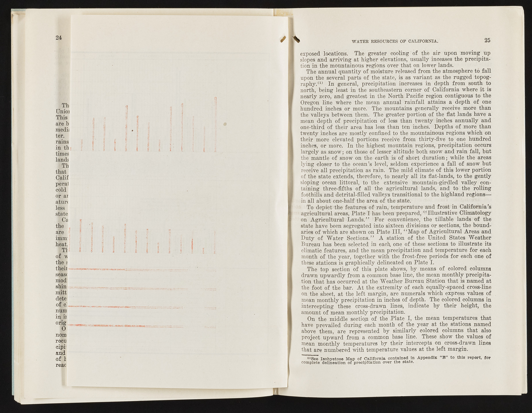
24 Th [Inioj This are b medii ter. rains in th times lands Th that Calif peral cold or ai aturi less state Hi the are imm heat. Tii of u the t theii seas< mod shin mitt dete of Bjl num in ii orig 0 nom recu cipi and o f 1 reac WATER RESOURCES OF CALIFORNIA. 25 exposed locations. The greater cooling of the air upon moving up slopes and arriving at higher elevations, usually inceases the precipitation in the mountainous regions over that on lower lands. The annual quantity of moisture released from the atmosphere to fall upon the several parts of the state, is as variant as the rugged topography.( 1) In general, precipitation increases in depth from south to north, being least in the southeastern corner of California where it is nearly zero, and greatest in the North Pacific region contiguous to the Oregon line where the mean annual rainfall attains a depth of one hundred inches or more. The mountains generally receive more than the valleys between them. The greater portion of the flat .lands have a mean depth of precipitation of less than twenty inches annually and one-third of their area has less than ten inches. Depths of more than twenty inches are mostly confined to the mountainous regions which on their more elevated portions receive from thirty-five to one hundred inches, or more. In the highest mountain regions, precipitation occurs largely as.Snow; on those of leSser altitude both snow and rain fall, but the mantle of snow on the earth is! of short duration; while the areas lying closer to the ocean’s level, seldom experience a fall of snow but receive all precipitation as rain. The mild climate of this lower portion of the state extends, therefore, to nearly all its flat-lands, to the gently sloping ocean littoral, to the extensive mountain-girdled valley containing three-fifths of all the agricultural lands, and to the rolling foothills and detrital-filled valleys transitional to the highland regions— in all about one-half the area of the state. To depict the features of rain, temperature and frost in California’s agricultural areas, Plate I has been prepared, “ Illustrative Climatology on Agricultural Lands.” For convenience, the tillable lands of the state have been segregated into sixteen divisions or sections, the boundaries of which are shown on Plate III, “ Map of Agricultural Areas and Duty of Water Sections.” A station of the United States Weather Bureau has been selected in each, one of these sections to illustrate its climatic features, and the mean precipitation and temperature for each month of the year, together with the frost-free periods for each one of these stations is graphically delineated on Plate I. The top section of this plate shows, by means of colored columns drawn upwardly from a common base line, the mean monthly precipitation that has occurred at the Weather Bureau Station that is named at the foot of the bar. A t the extremity of each equally-spaced cross-line on the sheet, at the left margin, are numerals which express values of mean monthly precipitation in inches of depth. The colored columns in intercepting these cross-drawn lines, indicate by their height, the amount of mean monthly precipitation. On the middle seetioji of the Plate I, the mean temperatures that have prevailed during each month of the year at the stations named above them, are represented by similarly colored columns that also project upward from a common base line. These show the values of mean monthly temperatures by their intercepts on cross-drawn lines that are numbered with temperature values at the left margin. “ ’See Isohyetose Map of California contained In Appendix "B” to this report, for complete delineation of precipitation over the state.

