Search the Special Collections and Archives Portal
Search Results
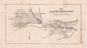
Map of a portion of the Eldorado Mining District, November 1916
Date
1916-11
Description
'Edition No. 2. November 1916.' Map is one side of a folded flyer advertising mines and mining in the Eldorado Canyon district. Transporation options to the area are listed. Scale: 1" = 1000'.
Text
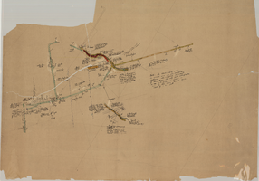
Map of the eighth level of the Clermont Mine, Goldfield, Nevada, circa 1902-1908
Date
1902 to 1908
Description
Hand-drawn, hand-colored and annotated map showing the eighth level of the Clermont Mine.
Image
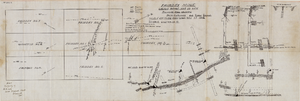
Fairday Mine property map, May 25, 1916
Date
1916-05-25
Description
'Fairday Mine, Cactus Range, Nye Co., Nev. property map showing vein outcrops and underground surface, May 25, 1916.' Handwritten in lower left corner: 'Map property of A.H. Lee, care [of] Tonopah Club, Tonopah, Nev.' 'Scale 200' to the inch.' 'Silver oz. Gold value 1/9.'
Image
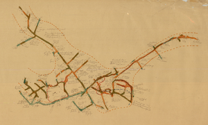
Map of the 328 foot level of the Combination Mine, Goldfield, Nevada, circa 1902-1908
Date
1902 to 1908
Description
Hand-drawn, hand-colored and annotated map showing the 328 foot level of the Combination Mine.
Image
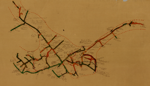
Map of the 330 foot level of the Combination Mine, Goldfield, Nevada, circa 1902-1908
Date
1902 to 1908
Description
Hand-drawn, hand-colored and annotated map showing the 330 foot level of the Combination Mine.
Image
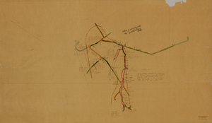
Map of the fifth level of the Clermont Mine, Goldfield, Nevada, circa 1902-1908
Date
1902 to 1908
Description
'Clermont, 5th level, el. 5098.2.' Hand-drawn, hand-colored and annotated map showing the fifth level of the Clermont Mine.
Image
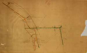
Map of the third level of the Clermont Mine, Goldfield, Nevada, circa 1902-1908
Date
1902 to 1908
Description
Hand-drawn, hand-colored and annotated map showing the third level of the Clermont Mine. 'Clermont, 3rd level, el. 5361.3.'
Image
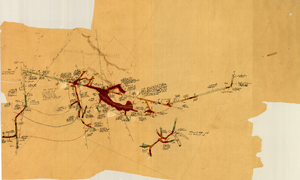
Map of the fourth level of the Clermont Mine, Goldfield, Nevada, circa 1902-1908
Date
1902 to 1908
Description
Hand-drawn, hand-colored and annotated map showing the fourth level of the Clermont Mine. Upper left and lower right corners missing.
Image
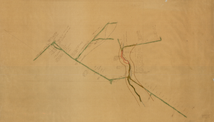
Map of the sixth level of the Clermont Mine, Goldfield, Nevada, circa 1902-1908
Date
1902 to 1908
Description
Hand-drawn, hand-colored and annotated map showing the sixth level of the Claremont Mine. 'Clermont, 6th level, el. 4971.4.'
Image
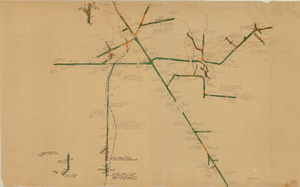
Map of the 380 foot level of the Combination Mine, Goldfield, Nevada, circa 1902-1908
Date
1902 to 1908
Description
'380 ft. level.' Hand-drawn, hand-colored and annotated map showing the 380 foot level of the Combination Mine.
Image
Pagination
Refine my results
Content Type
Creator or Contributor
Subject
Digital Project
Resource Type
Year
Material Type
Place
Language
