Search the Special Collections and Archives Portal
Search Results
Boulder City, Nevada regional maps
Level of Description
Archival Collection
Collection Name: UNLV University Libraries Collection of Boulder City, Hoover Dam, and Lake Mead National Recreation Area Maps and Brochures
Box/Folder: N/A
Archival Component
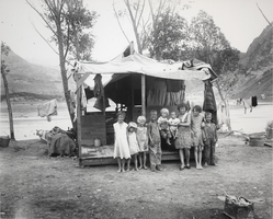
Photograph of children standing in front of a tent in Williamsville, Nevada, circa 1931
Date
Archival Collection
Description
Image
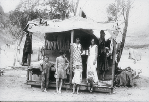
Slide of a family in Boulder City, Nevada, circa early 1930s
Date
Archival Collection
Description
Image
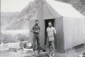
Slide of two men in front of a tent home in Boulder City, Nevada, August 13, 1931
Date
Archival Collection
Description
Image
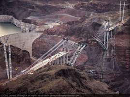
Photograph showing an aerial view of the Mike O'Callaghan-Pat Tillman Memorial Bridge under construction, Nevada-Arizona border, May 22, 2009
Date
Archival Collection
Description
Image
Boulder City, Nevada subdivision drawings and maps
Level of Description
Archival Collection
Collection Name: UNLV University Libraries Collection of Boulder City, Hoover Dam, and Lake Mead National Recreation Area Maps and Brochures
Box/Folder: N/A
Archival Component
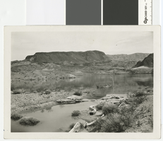
Panoramic photograph of Fortification Hill across the Colorado River, circa 1924
Date
Archival Collection
Description
Fortification Hill near the Colorado River
Transcribed Notes: Transcribed from back of photo: "About 1924. The Colorado River before the Dam, above where Hoover Dam is now (1963)"
Image
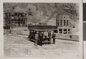
Photograph of the Bureau of Reclamation car at Boulder Dam, circa 1930s
Date
Archival Collection
Description
Image
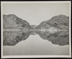
Photograph of Lake Mead and Boulder Canyon, Boulder City (Nev.), 1940s
Date
Archival Collection
Description
Image
Earl, Sam S.
Sam Earl was born in 1912 in Virgin, Utah. Discusses First Helldorado Days, Las Vegas history, work on Boulder (Hoover) Dam, Gambling and Casinos, Crime, Telephone company, "The Strip", Airport, Fire Department, Railroad and Streets, Truck driving and weather conditions, living conditions
Person
