Search the Special Collections and Archives Portal
Search Results
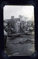
Photograph of crowd watching men compete in hand drilling contest, Round Mountain (Nev.), early 1900s
Date
1900 to 1925
Archival Collection
Description
Photograph of crowd watching men compete in hand drilling contest, Round Mountain (Nev.), early 1900s
Image
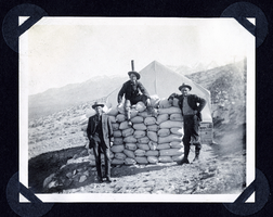
Photograph of men with sacks of ore from Round Mountain (Nev.), early 1900s
Date
1900 to 1925
Archival Collection
Description
Photograph of men with sacks of ore from Round Mountain (Nev.), early 1900s
Image
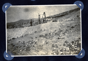
Photograph of men building mine headframe, Round Mountain (Nev.), early 1900s
Date
1900 to 1925
Archival Collection
Description
Photograph of men building mine headframe, Round Mountain (Nev.), early 1900s
Image
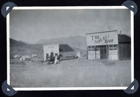
Photograph of a buggy in front of butcher shop in Round Mountain (Nev.), early 1900s
Date
1900 to 1925
Archival Collection
Description
Photo shows the Nugget Bar and Meat Market in Round Mountain.
Site Name: The Nugget Bar (Round Mountain, Nev.)
Site Name: The Nugget Bar (Round Mountain, Nev.)
Image
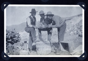
Photograph of men posing with gold pan, Round Mountain (Nev.), early 1900s
Date
1900 to 1925
Archival Collection
Description
Photograph of men posing with gold pan, Round Mountain (Nev.), early 1900s
Image
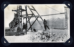
Photograph of men at mine site under headframe, Round Mountain (Nev.), early 1900s
Date
1900 to 1925
Archival Collection
Description
Photograph of men at mine site under headframe, Round Mountain (Nev.), early 1900s
Image
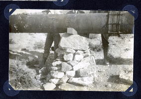
Photograph of a pipeline being set atop a rock pillar, Round Mountain (Nev.), early 1900s
Date
1900 to 1925
Archival Collection
Description
Photograph of a pipeline being set atop a rock pillar, Round Mountain (Nev.), early 1900s
Image

Map of the Bullfrog Mining District, Nye County (Nev.), 1905
Date
1905
Description
Scale [ca. 1:39,000. 1 in. to approx. 3,250 feet] ; 1 map : col. ; 45 x 38 cm ; Relief shown by hachures ; "Compliments of the Forward Mining Development Co." ; Properties owned by Patrick Investment Company are marked in red ; Shows railroads, roads, and pipelines ;
Image
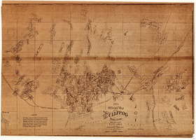
New official map of the Bullfrog Mining District, Nye County (Nev.), 1905
Date
1905
Description
Scale [ca. 1:16,800. 1 inch to approximately 1,400 feet] ; 1 map ; 74 x 109 cm ; Blueline print ; Scale almost illegible ; "Photo. lith. Britton & Rey." ; Photocopy? [United States : s.n., 199-?] ;
Image
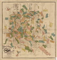
Elmer J. Chute's Map of Goldfield Mining District, Esmeralda and Nye Counties (Nev.), 1905
Date
1905
Description
Scale [ca. 1:20, 400. 1 in.=aprrox. 1,700 feet] ; 1 map : col. ; 60 x 58 cm ; Includes inset location map ; Includes township and range grid ;
Image
Pagination
Refine my results
Content Type
Creator or Contributor
Subject
Archival Collection
Digital Project
Resource Type
Material Type
Place
Language
Records Classification
