Search Results
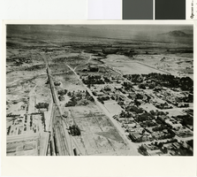
Aerial photograph of Las Vegas, 1915
Date
Archival Collection
Description
Aerial view of Las Vegas in 1915.
Image
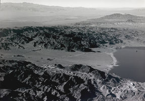
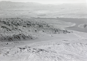
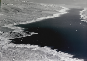
Film transparency of an aerial view of Lake Mead, circa 1930s
Date
Archival Collection
Description
Image
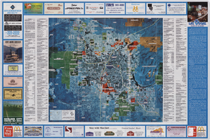
Aerial map of the Las Vegas Valley, with map of Las Vegas, 1992
Date
Description
Image
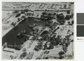
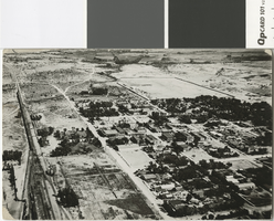
Aerial photograph of Lorenzi Park, 1965
Date
Archival Collection
Description
Aerial view of Lorenzi Park.
Transcribed Notes: 'Written on back of photo: Twin Lakes area - aerial photo; Notes on attached sheet: 1965. Ken Jones, photographer, must be credited.'
Image
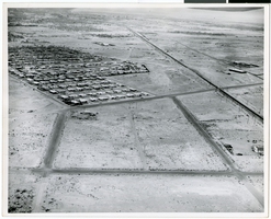
Aerial photograph of North Las Vegas, circa early 1970s
Date
Archival Collection
Description
Image
Film transparency of an aerial view of Lake Mead, circa 1930s
Date
Archival Collection
Description
Image
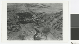
Aerial photograph of Las Vegas in the 1920s
Date
Archival Collection
Description
Aerial photograph of Las Vegas looking north.
Transcribed Notes: Transcribed from photo sleeve: "Aerial views of Las Vegas showing downtown UP yards 1920's. Shop's still standing (1983)."
Image
Aerial photograph of Las Vegas, 1931
Date
Archival Collection
Description
Aerial view of Las Vegas looking southwest
Transcribed Notes: Notes from photo sleeve: "Aerial view of Las Vegas, Nevada, 1931. At left center is Clark Townsite; at right edge is McWilliams Townsite."
Image
Film transparency of an aerial view of Lake Mead, circa 1930s
Date
Archival Collection
Description
Image
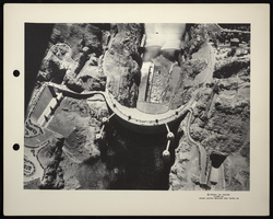
Aerial photograph of Hoover Dam, circa 1935-1936
Date
Archival Collection
Description
Image